Bacnor East geodata
Bacnor East (Cagayan Valley) is a populated place; located in Philippines in Asia/Manila (GMT+8) time zone. With population of 2,216 people, there are 3855 cities with bigger population in this country. Compared to other cities in Philippines, 93.8% of cities are located further ↓South; 64% of cities are located further →East and 69.6% of cities have lower elevation than Bacnor East. Note1


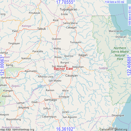
Bacnor East GPS coordinates[2]
17° 2' 4.164" North, 121° 42' 13.5" East
| Map corner | latitude | longitude |
|---|---|---|
| Upper-left | 17.70555°, | 121.00063° |
| Center: | 17.03449°, | 121.70375° |
| Lower-right: | 16.36102°, | 122.40688° |
| Map W x H: | 149.5×149.5 km | = 92.9×92.9mi |
| max Lat: | 20.78733° ⇑6.2% North |
| Bacnor East: | 17.03449° |
| min Lat: | ⇓93.8% South 4.65442° |
| min Long | Bacnor East | max Long |
| 117.04868° | 121.70375° | 126.58417° |
| W 36%⇐ | ⇒64% E |
Elevation
Elevation of Bacnor East is 51 m = 167 ft, and this is 36.9 m = 121 ft below average elevation for this country.
| Max E: |
2262 m = 7421 ft | 30.4% |
| Avg. | 87.9 m = 288 ft | |
| Bacnor East | 51 m = 167 ft | |
Min E: |
-2 m = -7 ft | 69.6% |
See also: Philippines elevation on elevation.city.
Geographical zone
Bacnor East is located in North Torrid zone (between Equator and Tropic of Cancer). Distance of this Northern Tropic circle is 711.9 km =442.4 mi to North.| Distance of | km | miles | from Bacnor East |
|---|---|---|---|
| North Pole | 8113 | 5041.2 | to North |
| Arctic Circle | 5507.1 | 3422 | to North |
| Tropic Cancer | 711.9 | 442.4 | to North |
| Equator | 1894.1 | 1176.9 | to South |


Nearby cities:
15 places around Bacnor East: (largest is in red/bold)
• Aurora
8.6 km =5.3 mi,  235°
235°
• Bagong Tanza
11.4 km =7.1 mi, 239°
• Banquero
8 km =5 mi,  99°
99°
• Burgos
6.1 km =3.8 mi,  358°
358°
• Cabatuan
9.4 km =5.8 mi,  203°
203°
• Cullalabo del Sur
7.6 km =4.7 mi,  0°
0°
• Eden
11.3 km =7 mi,  272°
272°
• Esperanza East
2.4 km =1.5 mi, 239°
• Furao
9.9 km =6.2 mi,  89°
89°
• Luna
7.7 km =4.8 mi,  159°
159°
• Mabini
7.9 km =4.9 mi,  24°
24°
• Magdalena
10 km =6.2 mi, 203°
• Quirino
11 km =6.8 mi, 357°
• San Manuel
7.3 km =4.5 mi,  260°
260°
• Sandiat Centro
8.2 km =5.1 mi,  301°
301°
Sources, notices
• [Note1] Compared only with cities in Philippines existing in our database
• [Src1] Map data: © OpenStreetMap contributors (CC-BY-SA)
• [Src2] Other city data from geonames.org with taken over terms of usage.
• [Src3] Geographical zone / Annual Mean Temperature by Robert A. Rohde @ Wikipedia
