Luna geodata
Luna (Cagayan Valley) is a seat of a third-order administrative division; located in Philippines in Asia/Manila (GMT+8) time zone. With population of 2,616 people, there are 3080 cities with bigger population in this country. Compared to other cities in Philippines, 93.3% of cities are located further ↓South; 63.6% of cities are located further →East and 72% of cities have lower elevation than Luna. Note1


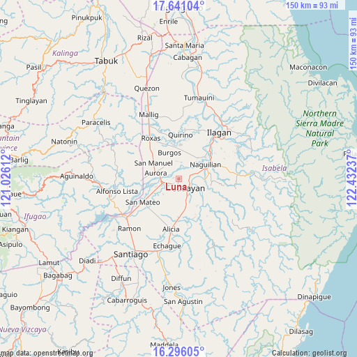
Luna GPS coordinates[2]
16° 58' 11.1" North, 121° 43' 45.264" East
| Map corner | latitude | longitude |
|---|---|---|
| Upper-left | 17.64104°, | 121.02612° |
| Center: | 16.96975°, | 121.72924° |
| Lower-right: | 16.29605°, | 122.43237° |
| Map W x H: | 149.5×149.6 km | = 92.9×93mi |
| max Lat: | 20.78733° ⇑6.7% North |
| Luna: | 16.96975° |
| min Lat: | ⇓93.3% South 4.65442° |
| min Long | Luna | max Long |
| 117.04868° | 121.72924° | 126.58417° |
| W 36.4%⇐ | ⇒63.6% E |
Elevation
Elevation of Luna is 57 m = 187 ft, and this is 30.9 m = 101 ft below average elevation for this country.
| Max E: |
2262 m = 7421 ft | 28% |
| Avg. | 87.9 m = 288 ft | |
| Luna | 57 m = 187 ft | |
Min E: |
-2 m = -7 ft | 72% |
See also: Philippines elevation on elevation.city.
Geographical zone
Luna is located in North Torrid zone (between Equator and Tropic of Cancer). Distance of this Northern Tropic circle is 719.1 km =446.8 mi to North.| Distance of | km | miles | from Luna |
|---|---|---|---|
| North Pole | 8120.2 | 5045.7 | to North |
| Arctic Circle | 5514.3 | 3426.4 | to North |
| Tropic Cancer | 719.1 | 446.8 | to North |
| Equator | 1886.9 | 1172.5 | to South |


Nearby cities:
15 places around Luna: (largest is in red/bold)
• Aurora
10.1 km =6.3 mi,  283°
283°
• Bacnor East
7.7 km =4.8 mi,  339°
339°
• Banquero
7.9 km =4.9 mi,  41°
41°
• Cabatuan
6.6 km =4.1 mi,  257°
257°
• Cauayan
6 km =3.7 mi,  130°
130°
• Esperanza East
7.7 km =4.8 mi,  321°
321°
• Furao
10.2 km =6.3 mi, 44°
• La Paz
9.2 km =5.7 mi,  224°
224°
• Magdalena
7.1 km =4.4 mi,  253°
253°
• Minante Segundo
8.3 km =5.2 mi,  155°
155°
• Nagrumbuan
8.1 km =5 mi,  194°
194°
• Pinoma
10.9 km =6.8 mi, 192°
• Reina Mercedes
10.5 km =6.5 mi,  80°
80°
• San Luis
10.5 km =6.5 mi,  93°
93°
• Sillawit
11.2 km =7 mi, 163°
Sources, notices
• [Note1] Compared only with cities in Philippines existing in our database
• [Src1] Map data: © OpenStreetMap contributors (CC-BY-SA)
• [Src2] Other city data from geonames.org with taken over terms of usage.
• [Src3] Geographical zone / Annual Mean Temperature by Robert A. Rohde @ Wikipedia
