Alegria geodata
Alegria (Caraga) is a populated place; located in Philippines in Asia/Manila (GMT+8) time zone. With population of 4,578 people, there are 1455 cities with bigger population in this country. Compared to other cities in Philippines, 78.7% of cities are located further ↑North; 97.8% of cities are located further ←West and 71.5% of cities have lower elevation than Alegria. Note1
Administrative division(s):
- Level 1: Caraga
- Level 2: Province of Agusan del Sur
- Level 3: San Francisco


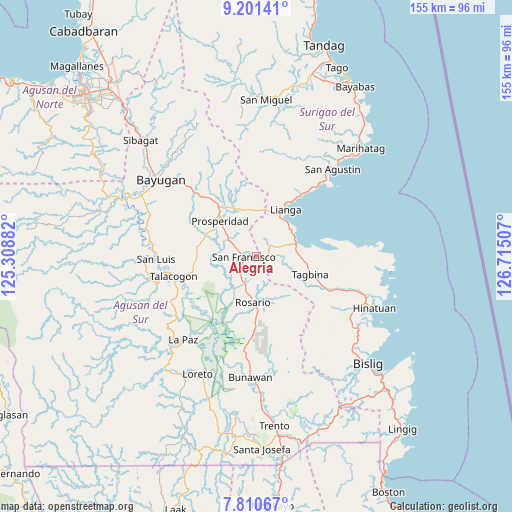
Alegria GPS coordinates[2]
8° 30' 24.012" North, 126° 0' 42.984" East
| Map corner | latitude | longitude |
|---|---|---|
| Upper-left | 9.20141°, | 125.30882° |
| Center: | 8.50667°, | 126.01194° |
| Lower-right: | 7.81067°, | 126.71507° |
| Map W x H: | 154.6×154.6 km | = 96.1×96.1mi |
| max Lat: | 20.78733° ⇑78.7% North |
| Alegria: | 8.50667° |
| min Lat: | ⇓21.3% South 4.65442° |
| min Long | Alegria | max Long |
| 117.04868° | 126.01194° | 126.58417° |
| W 97.8%⇐ | ⇒2.2% E |
Elevation
Elevation of Alegria is 56 m = 184 ft, and this is 31.9 m = 105 ft below average elevation for this country.
| Max E: |
2262 m = 7421 ft | 28.5% |
| Avg. | 87.9 m = 288 ft | |
| Alegria | 56 m = 184 ft | |
Min E: |
-2 m = -7 ft | 71.5% |
See also: Philippines elevation on elevation.city.
Geographical zone
Alegria is located in North Torrid zone (between Equator and Tropic of Cancer). Distance of Equator is 945.9 km =587.8 mi to South.| Distance of | km | miles | from Alegria |
|---|---|---|---|
| North Pole | 9061.2 | 5630.4 | to North |
| Arctic Circle | 6455.3 | 4011.1 | to North |
| Tropic Cancer | 1660.1 | 1031.5 | to North |
| Equator | 945.9 | 587.8 | to South |


Nearby cities:
15 places around Alegria: (largest is in red/bold)
• Amaga
7 km =4.3 mi,  67°
67°
• Aurora
21.5 km =13.4 mi,  296°
296°
• Bah-Bah
15.5 km =9.6 mi,  316°
316°
• Barobo
12.4 km =7.7 mi,  75°
75°
• Borbon
13.3 km =8.3 mi,  259°
259°
• Causwagan
20 km =12.4 mi,  250°
250°
• Javier
8.3 km =5.2 mi,  103°
103°
• Lapinigan
10.1 km =6.3 mi,  198°
198°
• Lianga
16.8 km =10.4 mi,  32°
32°
• Los Arcos
14.3 km =8.9 mi,  348°
348°
• Patin-ay
9.6 km =6 mi, 300°
• Prosperidad
15.1 km =9.4 mi, 302°
• Rosario
13.3 km =8.3 mi,  184°
184°
• San Francisco
7.5 km =4.7 mi, 295°
• Tagbina
18.6 km =11.6 mi,  109°
109°
Sources, notices
• [Note1] Compared only with cities in Philippines existing in our database
• [Src1] Map data: © OpenStreetMap contributors (CC-BY-SA)
• [Src2] Other city data from geonames.org with taken over terms of usage.
• [Src3] Geographical zone / Annual Mean Temperature by Robert A. Rohde @ Wikipedia
