Sibulao geodata
Sibulao (Zamboanga Peninsula) is a populated place; located in Philippines in Asia/Manila (GMT+8) time zone. With population of 2,939 people, there are 2600 cities with bigger population in this country. Compared to other cities in Philippines, 88.4% of cities are located further ↑North; 57.8% of cities are located further →East and 58.8% of cities have lower elevation than Sibulao. Note1
Administrative division(s):
- Level 1: Zamboanga Peninsula
- Level 2: Province of Zamboanga del Sur
- Level 3: Zamboanga City


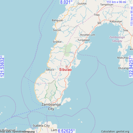
Sibulao GPS coordinates[2]
7° 19' 27.012" North, 122° 14' 21.984" East
| Map corner | latitude | longitude |
|---|---|---|
| Upper-left | 8.021°, | 121.53632° |
| Center: | 7.32417°, | 122.23944° |
| Lower-right: | 6.62625°, | 122.94257° |
| Map W x H: | 155.1×155.1 km | = 96.4×96.4mi |
| max Lat: | 20.78733° ⇑88.4% North |
| Sibulao: | 7.32417° |
| min Lat: | ⇓11.6% South 4.65442° |
| min Long | Sibulao | max Long |
| 117.04868° | 122.23944° | 126.58417° |
| W 42.2%⇐ | ⇒57.8% E |
Elevation
Elevation of Sibulao is 32 m = 105 ft, and this is 55.9 m = 183 ft below average elevation for this country.
| Max E: |
2262 m = 7421 ft | 41.2% |
| Avg. | 87.9 m = 288 ft | |
| Sibulao | 32 m = 105 ft | |
Min E: |
-2 m = -7 ft | 58.8% |
See also: Philippines elevation on elevation.city.
Geographical zone
Sibulao is located in North Torrid zone (between Equator and Tropic of Cancer). Distance of Equator is 814.4 km =506 mi to South.| Distance of | km | miles | from Sibulao |
|---|---|---|---|
| North Pole | 9192.7 | 5712.1 | to North |
| Arctic Circle | 6586.8 | 4092.8 | to North |
| Tropic Cancer | 1791.5 | 1113.2 | to North |
| Equator | 814.4 | 506 | to South |


Nearby cities:
15 places around Sibulao: (largest is in red/bold)
• Buenavista
9.9 km =6.2 mi,  169°
169°
• Bunguiao
24.9 km =15.5 mi,  190°
190°
• Calabasa
8.7 km =5.4 mi,  183°
183°
• Curuan
13.2 km =8.2 mi, 183°
• Dulian
23.5 km =14.6 mi,  196°
196°
• Limaong
14.6 km =9.1 mi,  73°
73°
• Mangusu
4.2 km =2.6 mi,  87°
87°
• Muti
7 km =4.3 mi,  140°
140°
• Quinipot
16.1 km =10 mi, 187°
• Sibuco
19.5 km =12.1 mi,  259°
259°
• Tagasilay
3.2 km =2 mi, 138°
• Tigbao
15.1 km =9.4 mi,  39°
39°
• Tigpalay
22.3 km =13.9 mi,  31°
31°
• Tungawan
25.1 km =15.6 mi, 35°
• Vitali
7.5 km =4.7 mi,  46°
46°
Sources, notices
• [Note1] Compared only with cities in Philippines existing in our database
• [Src1] Map data: © OpenStreetMap contributors (CC-BY-SA)
• [Src2] Other city data from geonames.org with taken over terms of usage.
• [Src3] Geographical zone / Annual Mean Temperature by Robert A. Rohde @ Wikipedia
