Dubiecko geodata
Dubiecko (Subcarpathian) is a seat of a third-order administrative division; located in Poland in Europe/Warsaw (GMT+2) time zone. With population of 1,150 people, there are 2258 cities with bigger population in this country. Compared to other cities in Poland, 90.8% of cities are located further ↑North; 90% of cities are located further ←West and 70.9% of cities have lower elevation than Dubiecko. Note1


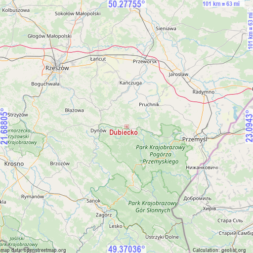
Dubiecko GPS coordinates[2]
49° 49' 33.888" North, 22° 23' 28.212" East
| Map corner | latitude | longitude |
|---|---|---|
| Upper-left | 50.27755°, | 21.68805° |
| Center: | 49.82608°, | 22.39117° |
| Lower-right: | 49.37036°, | 23.0943° |
| Map W x H: | 100.9×100.9 km | = 62.7×62.7mi |
| max Lat: | 54.83135° ⇑90.8% North |
| Dubiecko: | 49.82608° |
| min Lat: | ⇓9.2% South 49.21328° |
| min Long | Dubiecko | max Long |
| 14.20249° | 22.39117° | 24.03723° |
| W 90%⇐ | ⇒10% E |
Elevation
Elevation of Dubiecko is 232 m = 761 ft, and this is 40.6 m = 133 ft above average elevation for this country.
| Max E: |
974 m = 3196 ft | 29.1% |
| Dubiecko | 232 m 761 ft | |
| Avg. | 191.4 m = 628 ft | |
Min E: |
-3 m = -10 ft | 70.9% |
See also: Poland elevation on elevation.city.
Geographical zone
Dubiecko is located in North temperate zone (between Tropic of Cancer and the Arctic Circle). Distance of this North polar circle is 1861 km =1156.4 mi to North.| Distance of | km | miles | from Dubiecko |
|---|---|---|---|
| North Pole | 4466.9 | 2775.6 | to North |
| Arctic Circle | 1861 | 1156.4 | to North |
| Tropic Cancer | 2934.2 | 1823.2 | to South |
| Equator | 5540.1 | 3442.5 | to South |


Nearby cities:
15 places around Dubiecko: (largest is in red/bold)
• Babice
6.1 km =3.8 mi,  98°
98°
• Drohobyczka
4.3 km =2.7 mi,  324°
324°
• Dynów
11.3 km =7 mi,  263°
263°
• Hadle Szklarskie
11.5 km =7.1 mi,  325°
325°
• Hucisko Nienadowskie
6 km =3.7 mi,  18°
18°
• Jawornik Polski
10.3 km =6.4 mi,  314°
314°
• Jodłówka
9.3 km =5.8 mi,  35°
35°
• Kramarzówka
8.8 km =5.5 mi,  64°
64°
• Krzywcza
11.5 km =7.1 mi,  105°
105°
• Nienadowa
2.6 km =1.6 mi,  82°
82°
• Przedmieście Dubieckie
1.9 km =1.2 mi, 311°
• Ruszelczyce
9.4 km =5.8 mi, 100°
• Łopuszka Wielka
12.1 km =7.5 mi,  0°
0°
• Śliwnica
3.7 km =2.3 mi,  25°
25°
• Świebodna
9.3 km =5.8 mi, 23°
Sources, notices
• [Note1] Compared only with cities in Poland existing in our database
• [Src1] Map data: © OpenStreetMap contributors (CC-BY-SA)
• [Src2] Other city data from geonames.org with taken over terms of usage.
• [Src3] Geographical zone / Annual Mean Temperature by Robert A. Rohde @ Wikipedia
