Corazón geodata
Corazón (Guayama) is a populated place; located in Puerto Rico in America/Puerto_Rico (GMT-4) time zone. With population of 2,925 people, there are 104 cities with bigger population in this country. Compared to other cities in Puerto Rico, 91.6% of cities are located further ↑North; 72% of cities are located further ←West and 56% of cities have lower elevation than Corazón. Note1


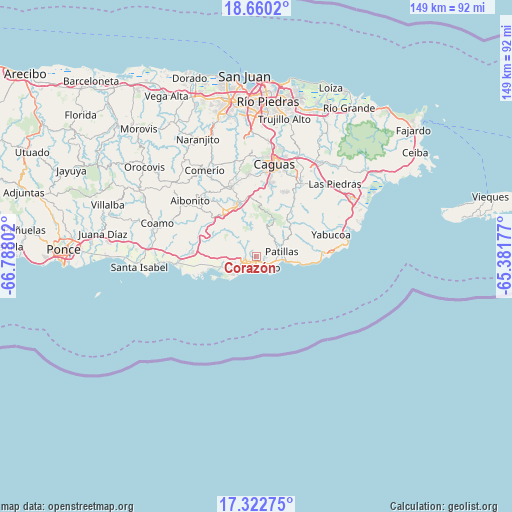
Corazón GPS coordinates[2]
17° 59' 33.864" North, 66° 5' 5.604" West
| Map corner | latitude | longitude |
|---|---|---|
| Upper-left | 18.6602°, | -66.78802° |
| Center: | 17.99274°, | -66.08489° |
| Lower-right: | 17.32275°, | -65.38177° |
| Map W x H: | 148.7×148.7 km | = 92.4×92.4mi |
| max Lat: | 18.50078° ⇑91.6% North |
| Corazón: | 17.99274° |
| min Lat: | ⇓8.4% South 17.95358° |
| min Long | Corazón | max Long |
| -67.2499° | -66.08489° | -65.30099° |
| W 72%⇐ | ⇒28% E |
Elevation
Elevation of Corazón is 62 m = 203 ft, and this is 38.5 m = 126 ft below average elevation for this country.
| Max E: |
655 m = 2149 ft | 44% |
| Avg. | 100.5 m = 330 ft | |
| Corazón | 62 m = 203 ft | |
Min E: |
1 m = 3 ft | 56% |
See also: Puerto Rico elevation on elevation.city.
Geographical zone
Corazón is located in North Torrid zone (between Equator and Tropic of Cancer). Distance of this Northern Tropic circle is 605.3 km =376.1 mi to North.| Distance of | km | miles | from Corazón |
|---|---|---|---|
| North Pole | 8006.5 | 4975 | to North |
| Arctic Circle | 5400.6 | 3355.8 | to North |
| Tropic Cancer | 605.3 | 376.1 | to North |
| Equator | 2000.6 | 1243.1 | to South |


Nearby cities:
15 places around Corazón: (largest is in red/bold)
• Arroyo
3.9 km =2.4 mi,  140°
140°
• Buena Vista
3.5 km =2.2 mi,  83°
83°
• Cayey
15.8 km =9.8 mi,  327°
327°
• Central Aguirre
15.2 km =9.4 mi,  253°
253°
• Coquí
15.2 km =9.4 mi,  262°
262°
• G. L. Garcia
15.1 km =9.4 mi,  352°
352°
• Guayama
3.2 km =2 mi, 252°
• Jobos
9.5 km =5.9 mi,  243°
243°
• La Plena
14 km =8.7 mi,  295°
295°
• Lamboglia
10.6 km =6.6 mi,  96°
96°
• Olimpo
2.7 km =1.7 mi,  292°
292°
• Palmas
6.3 km =3.9 mi, 95°
• Palo Seco
15.7 km =9.8 mi, 84°
• Patillas
7.5 km =4.7 mi, 78°
• Yaurel
4.8 km =3 mi,  37°
37°
Sources, notices
• [Note1] Compared only with cities in Puerto Rico existing in our database
• [Src1] Map data: © OpenStreetMap contributors (CC-BY-SA)
• [Src2] Other city data from geonames.org with taken over terms of usage.
• [Src3] Geographical zone / Annual Mean Temperature by Robert A. Rohde @ Wikipedia
