Patillas geodata
Patillas is a seat of a first-order administrative division; located in Puerto Rico in America/Puerto_Rico (GMT-4) time zone. With population of 4,247 people, there are 81 cities with bigger population in this country. Compared to other cities in Puerto Rico, 88% of cities are located further ↑North; 75.1% of cities are located further ←West and 69.8% of cities have higher elevation than Patillas. Note1


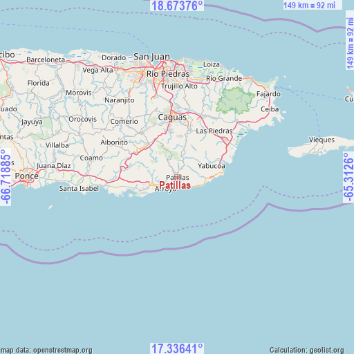
Patillas GPS coordinates[2]
18° 0' 22.86" North, 66° 0' 56.592" West
| Map corner | latitude | longitude |
|---|---|---|
| Upper-left | 18.67376°, | -66.71885° |
| Center: | 18.00635°, | -66.01572° |
| Lower-right: | 17.33641°, | -65.3126° |
| Map W x H: | 148.7×148.7 km | = 92.4×92.4mi |
| max Lat: | 18.50078° ⇑88% North |
| Patillas: | 18.00635° |
| min Lat: | ⇓12% South 17.95358° |
| min Long | Patillas | max Long |
| -67.2499° | -66.01572° | -65.30099° |
| W 75.1%⇐ | ⇒24.9% E |
Elevation
Elevation of Patillas is 21 m = 69 ft, and this is 79.5 m = 261 ft below average elevation for this country.
| Max E: |
655 m = 2149 ft | 69.8% |
| Avg. | 100.5 m = 330 ft | |
| Patillas | 21 m = 69 ft | |
Min E: |
1 m = 3 ft | 30.2% |
See also: Puerto Rico elevation on elevation.city.
Geographical zone
Patillas is located in North Torrid zone (between Equator and Tropic of Cancer). Distance of this Northern Tropic circle is 603.8 km =375.2 mi to North.| Distance of | km | miles | from Patillas |
|---|---|---|---|
| North Pole | 8004.9 | 4974 | to North |
| Arctic Circle | 5399.1 | 3354.8 | to North |
| Tropic Cancer | 603.8 | 375.2 | to North |
| Equator | 2002.1 | 1244 | to South |


Nearby cities:
15 places around Patillas: (largest is in red/bold)
• Arroyo
6.6 km =4.1 mi,  226°
226°
• Buena Vista
4 km =2.5 mi,  253°
253°
• Corazón
7.5 km =4.7 mi,  258°
258°
• Emajagua
14.1 km =8.8 mi,  92°
92°
• Guayama
10.7 km =6.6 mi, 256°
• Lamboglia
4.2 km =2.6 mi,  131°
131°
• Martorell
14.6 km =9.1 mi,  58°
58°
• Maunabo
12.3 km =7.6 mi, 89°
• Olimpo
9.8 km =6.1 mi,  267°
267°
• Palmas
2.4 km =1.5 mi,  205°
205°
• Palo Seco
8.3 km =5.2 mi, 89°
• Playita
12.2 km =7.6 mi,  69°
69°
• Rosa Sanchez
12.4 km =7.7 mi, 60°
• Yabucoa
15.2 km =9.4 mi, 71°
• Yaurel
4.9 km =3 mi,  297°
297°
Sources, notices
• [Note1] Compared only with cities in Puerto Rico existing in our database
• [Src1] Map data: © OpenStreetMap contributors (CC-BY-SA)
• [Src2] Other city data from geonames.org with taken over terms of usage.
• [Src3] Geographical zone / Annual Mean Temperature by Robert A. Rohde @ Wikipedia
