Terrugem geodata
Terrugem (Lisbon) is a populated place; located in Portugal in Europe/Lisbon (GMT+1) time zone. With population of 4,693 people, there are 453 cities with bigger population in this country. Compared to other cities in Portugal, 73.6% of cities are located further ↑North; 85.7% of cities are located further →East and 57% of cities have higher elevation than Terrugem. Note1


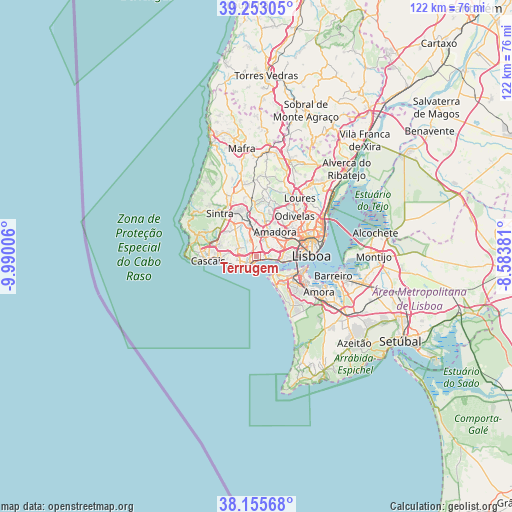
Terrugem GPS coordinates[2]
38° 42' 23.292" North, 9° 17' 12.948" West
| Map corner | latitude | longitude |
|---|---|---|
| Upper-left | 39.25305°, | -9.99006° |
| Center: | 38.70647°, | -9.28693° |
| Lower-right: | 38.15568°, | -8.58381° |
| Map W x H: | 122×122 km | = 75.8×75.8mi |
| max Lat: | 42.11337° ⇑73.6% North |
| Terrugem: | 38.70647° |
| min Lat: | ⇓26.4% South 32.6448° |
| min Long | Terrugem | max Long |
| -31.17847° | -9.28693° | -6.27308° |
| W 14.3%⇐ | ⇒85.7% E |
Elevation
Elevation of Terrugem is 87 m = 285 ft, and this is 90 m = 295 ft below average elevation for this country.
| Max E: |
1008 m = 3307 ft | 57% |
| Avg. | 177 m = 581 ft | |
| Terrugem | 87 m = 285 ft | |
Min E: |
-128 m = -420 ft | 43% |
See also: Portugal elevation on elevation.city.
Geographical zone
Terrugem is located in North temperate zone (between Tropic of Cancer and the Arctic Circle). Distance of this Northern Tropic circle is 1697.8 km =1055 mi to South.| Distance of | km | miles | from Terrugem |
|---|---|---|---|
| North Pole | 5703.3 | 3543.9 | to North |
| Arctic Circle | 3097.4 | 1924.6 | to North |
| Tropic Cancer | 1697.8 | 1055 | to South |
| Equator | 4303.8 | 2674.3 | to South |


Nearby cities:
15 places around Terrugem: (largest is in red/bold)
• Algés
5 km =3.1 mi,  95°
95°
• Barcarena
3 km =1.9 mi,  11°
11°
• Carcavelos
3.5 km =2.2 mi,  240°
240°
• Carnaxide
4.2 km =2.6 mi,  56°
56°
• Caxias
1 km =0.6 mi,  112°
112°
• Linda-a-Velha
4 km =2.5 mi,  77°
77°
• Massamá
5.2 km =3.2 mi, 5°
• Oeiras
2.7 km =1.7 mi,  230°
230°
• Parede
6 km =3.7 mi,  255°
255°
• Paço de Arcos
1.3 km =0.8 mi,  198°
198°
• Porto Salvo
2.4 km =1.5 mi,  319°
319°
• Queijas
2.5 km =1.6 mi, 56°
• Queluz
6.2 km =3.9 mi,  26°
26°
• São Domingos de Rana
4.7 km =2.9 mi, 263°
• Trafaria
6.1 km =3.8 mi,  128°
128°
Sources, notices
• [Note1] Compared only with cities in Portugal existing in our database
• [Src1] Map data: © OpenStreetMap contributors (CC-BY-SA)
• [Src2] Other city data from geonames.org with taken over terms of usage.
• [Src3] Geographical zone / Annual Mean Temperature by Robert A. Rohde @ Wikipedia
