Alvito geodata
Alvito (Beja) is a seat of a second-order administrative division; located in Portugal in Europe/Lisbon (GMT+1) time zone. With population of 2,504 people, there are 615 cities with bigger population in this country. Compared to other cities in Portugal, 82.2% of cities are located further ↑North; 79.5% of cities are located further ←West and 74.9% of cities have lower elevation than Alvito. Note1


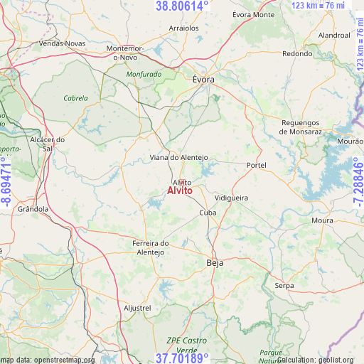
Alvito GPS coordinates[2]
38° 15' 21.996" North, 7° 59' 29.688" West
| Map corner | latitude | longitude |
|---|---|---|
| Upper-left | 38.80614°, | -8.69471° |
| Center: | 38.25611°, | -7.99158° |
| Lower-right: | 37.70189°, | -7.28846° |
| Map W x H: | 122.8×122.8 km | = 76.3×76.3mi |
| max Lat: | 42.11337° ⇑82.2% North |
| Alvito: | 38.25611° |
| min Lat: | ⇓17.8% South 32.6448° |
| min Long | Alvito | max Long |
| -31.17847° | -7.99158° | -6.27308° |
| W 79.5%⇐ | ⇒20.5% E |
Elevation
Elevation of Alvito is 235 m = 771 ft, and this is 58 m = 190 ft above average elevation for this country.
| Max E: |
1008 m = 3307 ft | 25.1% |
| Alvito | 235 m 771 ft | |
| Avg. | 177 m = 581 ft | |
Min E: |
-128 m = -420 ft | 74.9% |
See also: Portugal elevation on elevation.city.
Geographical zone
Alvito is located in North temperate zone (between Tropic of Cancer and the Arctic Circle). Distance of this Northern Tropic circle is 1647.8 km =1023.9 mi to South.| Distance of | km | miles | from Alvito |
|---|---|---|---|
| North Pole | 5753.4 | 3575 | to North |
| Arctic Circle | 3147.5 | 1955.8 | to North |
| Tropic Cancer | 1647.8 | 1023.9 | to South |
| Equator | 4253.7 | 2643.1 | to South |


Nearby cities:
15 places around Alvito: (largest is in red/bold)
• Beja
29.1 km =18.1 mi,  157°
157°
• Beringel
22.2 km =13.8 mi,  178°
178°
• Cuba
13.3 km =8.3 mi,  139°
139°
• Faro do Alentejo
12.7 km =7.9 mi, 159°
• Ferreira do Alentejo
23.2 km =14.4 mi,  189°
189°
• Mombeja
26.1 km =16.2 mi, 188°
• Neves
30.3 km =18.8 mi,  149°
149°
• Penedo Gordo
30.9 km =19.2 mi,  167°
167°
• Portel
25.9 km =16.1 mi,  77°
77°
• Santa Vitória
32.1 km =19.9 mi, 185°
• São Brissos
20.8 km =12.9 mi, 169°
• São Matias
20.1 km =12.5 mi, 144°
• Trigaches
18.5 km =11.5 mi, 174°
• Viana do Alentejo
8.8 km =5.5 mi,  352°
352°
• Vidigueira
17.5 km =10.9 mi,  107°
107°
Sources, notices
• [Note1] Compared only with cities in Portugal existing in our database
• [Src1] Map data: © OpenStreetMap contributors (CC-BY-SA)
• [Src2] Other city data from geonames.org with taken over terms of usage.
• [Src3] Geographical zone / Annual Mean Temperature by Robert A. Rohde @ Wikipedia
