Arrifana geodata
Arrifana (Aveiro) is a populated place; located in Portugal in Europe/Lisbon (GMT+1) time zone. With population of 6,927 people, there are 324 cities with bigger population in this country. Compared to other cities in Portugal, 68.2% of cities are located further ↓South; 54.8% of cities are located further ←West and 78.8% of cities have lower elevation than Arrifana. Note1


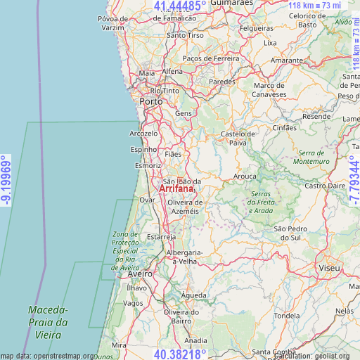
Arrifana GPS coordinates[2]
40° 54' 56.34" North, 8° 29' 47.652" West
| Map corner | latitude | longitude |
|---|---|---|
| Upper-left | 41.44485°, | -9.19969° |
| Center: | 40.91565°, | -8.49657° |
| Lower-right: | 40.38218°, | -7.79344° |
| Map W x H: | 118.2×118.2 km | = 73.4×73.4mi |
| max Lat: | 42.11337° ⇑31.8% North |
| Arrifana: | 40.91565° |
| min Lat: | ⇓68.2% South 32.6448° |
| min Long | Arrifana | max Long |
| -31.17847° | -8.49657° | -6.27308° |
| W 54.8%⇐ | ⇒45.2% E |
Elevation
Elevation of Arrifana is 271 m = 889 ft, and this is 94 m = 308 ft above average elevation for this country.
| Max E: |
1008 m = 3307 ft | 21.2% |
| Arrifana | 271 m 889 ft | |
| Avg. | 177 m = 581 ft | |
Min E: |
-128 m = -420 ft | 78.8% |
See also: Portugal elevation on elevation.city.
Geographical zone
Arrifana is located in North temperate zone (between Tropic of Cancer and the Arctic Circle). Distance of this Northern Tropic circle is 1943.5 km =1207.6 mi to South.| Distance of | km | miles | from Arrifana |
|---|---|---|---|
| North Pole | 5457.7 | 3391.3 | to North |
| Arctic Circle | 2851.8 | 1772 | to North |
| Tropic Cancer | 1943.5 | 1207.6 | to South |
| Equator | 4549.4 | 2826.9 | to South |


Nearby cities:
15 places around Arrifana: (largest is in red/bold)
• Cucujães
4.7 km =2.9 mi,  190°
190°
• Espargo
6.7 km =4.2 mi,  278°
278°
• Feira
4 km =2.5 mi,  285°
285°
• Fiães
9.1 km =5.7 mi,  344°
344°
• Lobão
7.9 km =4.9 mi,  6°
6°
• Lourosa
8.9 km =5.5 mi,  328°
328°
• Milheirós de Poiares
2.5 km =1.6 mi,  74°
74°
• Mosteirô
3.5 km =2.2 mi,  237°
237°
• Oliveira de Azemeis
8.5 km =5.3 mi,  167°
167°
• Rio Meão
8.3 km =5.2 mi,  304°
304°
• Sanfins
2.9 km =1.8 mi, 302°
• São João da Madeira
1.7 km =1.1 mi,  162°
162°
• São João de Ver
6.4 km =4 mi,  313°
313°
• São Roque
5.3 km =3.3 mi, 156°
• Vila Chã
6 km =3.7 mi, 155°
Sources, notices
• [Note1] Compared only with cities in Portugal existing in our database
• [Src1] Map data: © OpenStreetMap contributors (CC-BY-SA)
• [Src2] Other city data from geonames.org with taken over terms of usage.
• [Src3] Geographical zone / Annual Mean Temperature by Robert A. Rohde @ Wikipedia
