Alvito geodata
Alvito (Braga) is a populated place; located in Portugal in Europe/Lisbon (GMT+1) time zone. With population of 963 people, there are 758 cities with bigger population in this country. Compared to other cities in Portugal, 92.1% of cities are located further ↓South; 78.8% of cities are located further ←West and 85% of cities have lower elevation than Alvito. Note1


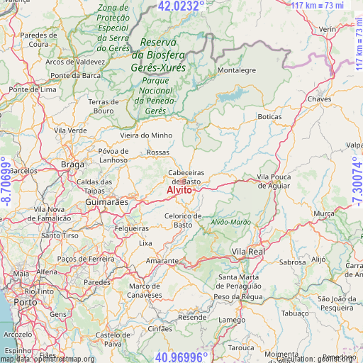
Alvito GPS coordinates[2]
41° 29' 55.392" North, 8° 0' 13.896" West
| Map corner | latitude | longitude |
|---|---|---|
| Upper-left | 42.0232°, | -8.70699° |
| Center: | 41.49872°, | -8.00386° |
| Lower-right: | 40.96996°, | -7.30074° |
| Map W x H: | 117.1×117.1 km | = 72.8×72.8mi |
| max Lat: | 42.11337° ⇑7.9% North |
| Alvito: | 41.49872° |
| min Lat: | ⇓92.1% South 32.6448° |
| min Long | Alvito | max Long |
| -31.17847° | -8.00386° | -6.27308° |
| W 78.8%⇐ | ⇒21.2% E |
Elevation
Elevation of Alvito is 359 m = 1178 ft, and this is 182 m = 597 ft above average elevation for this country.
| Max E: |
1008 m = 3307 ft | 15% |
| Alvito | 359 m 1178 ft | |
| Avg. | 177 m = 581 ft | |
Min E: |
-128 m = -420 ft | 85% |
See also: Portugal elevation on elevation.city.
Geographical zone
Alvito is located in North temperate zone (between Tropic of Cancer and the Arctic Circle). Distance of this Northern Tropic circle is 2008.3 km =1247.9 mi to South.| Distance of | km | miles | from Alvito |
|---|---|---|---|
| North Pole | 5392.8 | 3350.9 | to North |
| Arctic Circle | 2786.9 | 1731.7 | to North |
| Tropic Cancer | 2008.3 | 1247.9 | to South |
| Equator | 4614.2 | 2867.1 | to South |


Nearby cities:
15 places around Alvito: (largest is in red/bold)
• Arões
18.2 km =11.3 mi,  254°
254°
• Cabeceiras de Basto
2.1 km =1.3 mi,  34°
34°
• Celorico de Basto
12.4 km =7.7 mi,  178°
178°
• Fafe
15 km =9.3 mi, 249°
• Felgueiras
21.5 km =13.4 mi,  227°
227°
• Margaride
22.1 km =13.7 mi, 227°
• Mondim de Basto
10.5 km =6.5 mi,  156°
156°
• Póvoa de Lanhoso
23.8 km =14.8 mi,  291°
291°
• Refojos de Basto
1.8 km =1.1 mi,  24°
24°
• Ribeira de Pena
17 km =10.6 mi,  81°
81°
• Serzedo
21.5 km =13.4 mi,  240°
240°
• Sobreira
17 km =10.6 mi, 80°
• Telões
22.8 km =14.2 mi,  203°
203°
• Vieira do Minho
18.9 km =11.7 mi,  322°
322°
• Vizela
24.2 km =15 mi, 237°
Sources, notices
• [Note1] Compared only with cities in Portugal existing in our database
• [Src1] Map data: © OpenStreetMap contributors (CC-BY-SA)
• [Src2] Other city data from geonames.org with taken over terms of usage.
• [Src3] Geographical zone / Annual Mean Temperature by Robert A. Rohde @ Wikipedia
