Vârteju geodata
Vârteju (Ilfov) is a populated place; located in Romania in Europe/Bucharest (GMT+3) time zone. With population of 1,818 people, there are 2810 cities with bigger population in this country. Compared to other cities in Romania, 89.4% of cities are located further ↑North; 62.7% of cities are located further ←West and 84.4% of cities have higher elevation than Vârteju. Note1


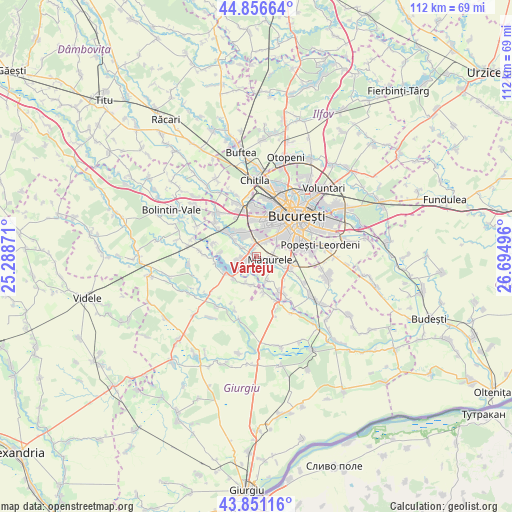
Vârteju GPS coordinates[2]
44° 21' 21.816" North, 25° 59' 30.588" East
| Map corner | latitude | longitude |
|---|---|---|
| Upper-left | 44.85664°, | 25.28871° |
| Center: | 44.35606°, | 25.99183° |
| Lower-right: | 43.85116°, | 26.69496° |
| Map W x H: | 111.8×111.8 km | = 69.5×69.5mi |
| max Lat: | 48.23793° ⇑89.4% North |
| Vârteju: | 44.35606° |
| min Lat: | ⇓10.6% South 43.65638° |
| min Long | Vârteju | max Long |
| 20.31667° | 25.99183° | 29.65403° |
| W 62.7%⇐ | ⇒37.3% E |
Elevation
Elevation of Vârteju is 80 m = 262 ft, and this is 174.9 m = 574 ft below average elevation for this country.
| Max E: |
1278 m = 4193 ft | 84.4% |
| Avg. | 254.9 m = 836 ft | |
| Vârteju | 80 m = 262 ft | |
Min E: |
-2 m = -7 ft | 15.6% |
See also: Romania elevation on elevation.city.
Geographical zone
Vârteju is located in North temperate zone (between Tropic of Cancer and the Arctic Circle). Distance of this Northern Tropic circle is 2326 km =1445.3 mi to South.| Distance of | km | miles | from Vârteju |
|---|---|---|---|
| North Pole | 5075.1 | 3153.5 | to North |
| Arctic Circle | 2469.2 | 1534.3 | to North |
| Tropic Cancer | 2326 | 1445.3 | to South |
| Equator | 4931.9 | 3064.5 | to South |


Nearby cities:
15 places around Vârteju: (largest is in red/bold)
• Alunișu
5.6 km =3.5 mi,  109°
109°
• Bragadiru
2 km =1.2 mi,  325°
325°
• Clinceni
3.5 km =2.2 mi,  303°
303°
• Cornetu
4.4 km =2.7 mi,  248°
248°
• Domneşti-Sârbi
6.7 km =4.2 mi, 296°
• Dumitrana
3.7 km =2.3 mi,  171°
171°
• Dărăşti-Ilfov
5.7 km =3.5 mi,  158°
158°
• Dărăști-Vlașca
7.1 km =4.4 mi, 167°
• Jilava
7.3 km =4.5 mi, 110°
• Mihăileşti
7.4 km =4.6 mi,  243°
243°
• Măgurele
3.4 km =2.1 mi,  101°
101°
• Novaci
6.1 km =3.8 mi,  184°
184°
• Olteni
5.3 km =3.3 mi,  321°
321°
• Popești
6.2 km =3.9 mi,  201°
201°
• Sector 5
7.3 km =4.5 mi,  60°
60°
Sources, notices
• [Note1] Compared only with cities in Romania existing in our database
• [Src1] Map data: © OpenStreetMap contributors (CC-BY-SA)
• [Src2] Other city data from geonames.org with taken over terms of usage.
• [Src3] Geographical zone / Annual Mean Temperature by Robert A. Rohde @ Wikipedia
