Vârciorog geodata
Vârciorog (Bihor) is a seat of a second-order administrative division; located in Romania in Europe/Bucharest (GMT+3) time zone. With population of 2,314 people, there are 2310 cities with bigger population in this country. Compared to other cities in Romania, 78.2% of cities are located further ↓South; 91.7% of cities are located further →East and 78.3% of cities have lower elevation than Vârciorog. Note1


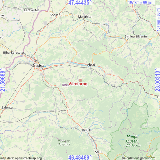
Vârciorog GPS coordinates[2]
46° 58' 0.012" North, 22° 18' 0" East
| Map corner | latitude | longitude |
|---|---|---|
| Upper-left | 47.44435°, | 21.59688° |
| Center: | 46.96667°, | 22.3° |
| Lower-right: | 46.48469°, | 23.00313° |
| Map W x H: | 106.7×106.7 km | = 66.3×66.3mi |
| max Lat: | 48.23793° ⇑21.8% North |
| Vârciorog: | 46.96667° |
| min Lat: | ⇓78.2% South 43.65638° |
| min Long | Vârciorog | max Long |
| 20.31667° | 22.3° | 29.65403° |
| W 8.3%⇐ | ⇒91.7% E |
Elevation
Elevation of Vârciorog is 379 m = 1243 ft, and this is 124.1 m = 407 ft above average elevation for this country.
| Max E: |
1278 m = 4193 ft | 21.7% |
| Vârciorog | 379 m 1243 ft | |
| Avg. | 254.9 m = 836 ft | |
Min E: |
-2 m = -7 ft | 78.3% |
See also: Romania elevation on elevation.city.
Geographical zone
Vârciorog is located in North temperate zone (between Tropic of Cancer and the Arctic Circle). Distance of this North polar circle is 2179 km =1354 mi to North.| Distance of | km | miles | from Vârciorog |
|---|---|---|---|
| North Pole | 4784.9 | 2973.2 | to North |
| Arctic Circle | 2179 | 1354 | to North |
| Tropic Cancer | 2616.3 | 1625.7 | to South |
| Equator | 5222.2 | 3244.9 | to South |


Nearby cities:
15 places around Vârciorog: (largest is in red/bold)
• Aştileu
9.7 km =6 mi,  40°
40°
• Bucuroaia
9.7 km =6 mi,  244°
244°
• Chistag
9.9 km =6.2 mi,  25°
25°
• Copăcel
10.3 km =6.4 mi,  280°
280°
• Corbești
10 km =6.2 mi,  208°
208°
• Călățea
8.6 km =5.3 mi,  74°
74°
• Hotar
6 km =3.7 mi,  349°
349°
• Peștere
8.9 km =5.5 mi, 42°
• Subpiatră
6.6 km =4.1 mi,  4°
4°
• Surduc
7.5 km =4.7 mi, 278°
• Telechiu
10 km =6.2 mi, 348°
• Tilecuș
8.8 km =5.5 mi,  315°
315°
• Urvind
11.3 km =7 mi, 353°
• Șerghiș
4.8 km =3 mi,  288°
288°
• Țețchea
9 km =5.6 mi,  12°
12°
Sources, notices
• [Note1] Compared only with cities in Romania existing in our database
• [Src1] Map data: © OpenStreetMap contributors (CC-BY-SA)
• [Src2] Other city data from geonames.org with taken over terms of usage.
• [Src3] Geographical zone / Annual Mean Temperature by Robert A. Rohde @ Wikipedia
