Copăcel geodata
Copăcel (Bihor) is a seat of a second-order administrative division; located in Romania in Europe/Bucharest (GMT+3) time zone. With population of 2,427 people, there are 2219 cities with bigger population in this country. Compared to other cities in Romania, 78.5% of cities are located further ↓South; 93.1% of cities are located further →East and 50.5% of cities have higher elevation than Copăcel. Note1


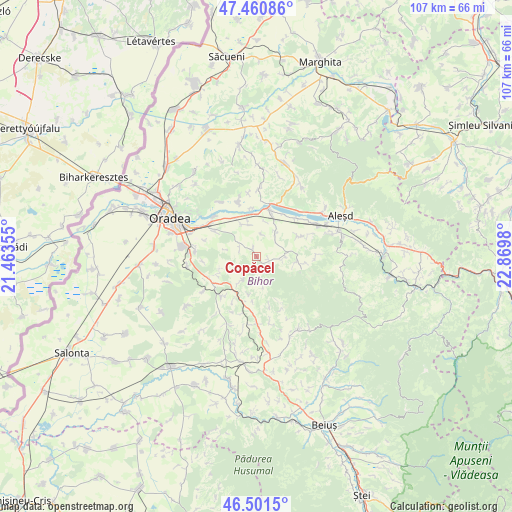
Copăcel GPS coordinates[2]
46° 58' 59.988" North, 22° 10' 0.012" East
| Map corner | latitude | longitude |
|---|---|---|
| Upper-left | 47.46086°, | 21.46355° |
| Center: | 46.98333°, | 22.16667° |
| Lower-right: | 46.5015°, | 22.8698° |
| Map W x H: | 106.7×106.7 km | = 66.3×66.3mi |
| max Lat: | 48.23793° ⇑21.5% North |
| Copăcel: | 46.98333° |
| min Lat: | ⇓78.5% South 43.65638° |
| min Long | Copăcel | max Long |
| 20.31667° | 22.16667° | 29.65403° |
| W 6.9%⇐ | ⇒93.1% E |
Elevation
Elevation of Copăcel is 209 m = 686 ft, and this is 45.9 m = 151 ft below average elevation for this country.
| Max E: |
1278 m = 4193 ft | 50.5% |
| Avg. | 254.9 m = 836 ft | |
| Copăcel | 209 m = 686 ft | |
Min E: |
-2 m = -7 ft | 49.5% |
See also: Romania elevation on elevation.city.
Geographical zone
Copăcel is located in North temperate zone (between Tropic of Cancer and the Arctic Circle). Distance of this North polar circle is 2177.1 km =1352.8 mi to North.| Distance of | km | miles | from Copăcel |
|---|---|---|---|
| North Pole | 4783 | 2972 | to North |
| Arctic Circle | 2177.1 | 1352.8 | to North |
| Tropic Cancer | 2618.1 | 1626.8 | to South |
| Equator | 5224.1 | 3246.1 | to South |


Nearby cities:
15 places around Copăcel: (largest is in red/bold)
• Alparea
10.4 km =6.5 mi,  300°
300°
• Bucuroaia
6.2 km =3.9 mi,  167°
167°
• Cotiglet
10.7 km =6.6 mi, 165°
• Hidişelu de Sus
9.6 km =6 mi,  247°
247°
• Hotar
9.9 km =6.2 mi,  65°
65°
• Oșorhei
10.4 km =6.5 mi, 302°
• Surduc
2.8 km =1.7 mi,  106°
106°
• Săbolciu
10.2 km =6.3 mi,  353°
353°
• Săcădat
5.7 km =3.5 mi, 347°
• Sărand
3.8 km =2.4 mi, 295°
• Tileagd
9.6 km =6 mi,  15°
15°
• Tilecuș
5.9 km =3.7 mi,  42°
42°
• Tășad
6 km =3.7 mi,  211°
211°
• Vârciorog
10.3 km =6.4 mi,  100°
100°
• Șerghiș
5.6 km =3.5 mi,  93°
93°
Sources, notices
• [Note1] Compared only with cities in Romania existing in our database
• [Src1] Map data: © OpenStreetMap contributors (CC-BY-SA)
• [Src2] Other city data from geonames.org with taken over terms of usage.
• [Src3] Geographical zone / Annual Mean Temperature by Robert A. Rohde @ Wikipedia
