Veţel geodata
Veţel (Hunedoara) is a seat of a second-order administrative division; located in Romania in Europe/Bucharest (GMT+3) time zone. With population of 2,722 people, there are 1969 cities with bigger population in this country. Compared to other cities in Romania, 52.6% of cities are located further ↓South; 86.9% of cities are located further →East and 50.1% of cities have higher elevation than Veţel. Note1


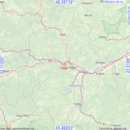
Veţel GPS coordinates[2]
45° 54' 0" North, 22° 49' 0.012" East
| Map corner | latitude | longitude |
|---|---|---|
| Upper-left | 46.38716°, | 22.11355° |
| Center: | 45.9°, | 22.81667° |
| Lower-right: | 45.40853°, | 23.5198° |
| Map W x H: | 108.8×108.8 km | = 67.6×67.6mi |
| max Lat: | 48.23793° ⇑47.4% North |
| Veţel: | 45.9° |
| min Lat: | ⇓52.6% South 43.65638° |
| min Long | Veţel | max Long |
| 20.31667° | 22.81667° | 29.65403° |
| W 13.1%⇐ | ⇒86.9% E |
Elevation
Elevation of Veţel is 211 m = 692 ft, and this is 43.9 m = 144 ft below average elevation for this country.
| Max E: |
1278 m = 4193 ft | 50.1% |
| Avg. | 254.9 m = 836 ft | |
| Veţel | 211 m = 692 ft | |
Min E: |
-2 m = -7 ft | 49.9% |
See also: Romania elevation on elevation.city.
Geographical zone
Veţel is located in North temperate zone (between Tropic of Cancer and the Arctic Circle). Distance of this North polar circle is 2297.6 km =1427.7 mi to North.| Distance of | km | miles | from Veţel |
|---|---|---|---|
| North Pole | 4903.5 | 3046.9 | to North |
| Arctic Circle | 2297.6 | 1427.7 | to North |
| Tropic Cancer | 2497.7 | 1552 | to South |
| Equator | 5103.6 | 3171.2 | to South |


Nearby cities:
15 places around Veţel: (largest is in red/bold)
• Boz
7.3 km =4.5 mi,  317°
317°
• Bretea Mureșană
9.1 km =5.7 mi,  296°
296°
• Brănişca
3.2 km =2 mi,  305°
305°
• Bârsău
11.7 km =7.3 mi,  73°
73°
• Cristur
12.6 km =7.8 mi,  128°
128°
• Cârjiţi
5.7 km =3.5 mi,  166°
166°
• Deva
6.7 km =4.2 mi,  106°
106°
• Hărău
10.3 km =6.4 mi,  90°
90°
• Leșnic
6.1 km =3.8 mi,  285°
285°
• Mintia
3.6 km =2.2 mi,  43°
43°
• Peştişu Mic
12.3 km =7.6 mi,  155°
155°
• Sântandrei
12.9 km =8 mi,  115°
115°
• Sântuhalm
11.6 km =7.2 mi, 113°
• Sârbi
10.9 km =6.8 mi, 308°
• Şoimuş
6.7 km =4.2 mi, 73°
Sources, notices
• [Note1] Compared only with cities in Romania existing in our database
• [Src1] Map data: © OpenStreetMap contributors (CC-BY-SA)
• [Src2] Other city data from geonames.org with taken over terms of usage.
• [Src3] Geographical zone / Annual Mean Temperature by Robert A. Rohde @ Wikipedia
