Ungureni geodata
Ungureni (Dâmboviţa) is a populated place; located in Romania in Europe/Bucharest (GMT+3) time zone. With population of 855 people, there are 4813 cities with bigger population in this country. Compared to other cities in Romania, 77.1% of cities are located further ↑North; 61.2% of cities are located further ←West and 67.2% of cities have higher elevation than Ungureni. Note1


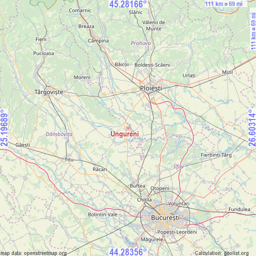
Ungureni GPS coordinates[2]
44° 47' 5.172" North, 25° 54' 0.036" East
| Map corner | latitude | longitude |
|---|---|---|
| Upper-left | 45.28166°, | 25.19689° |
| Center: | 44.78477°, | 25.90001° |
| Lower-right: | 44.28356°, | 26.60314° |
| Map W x H: | 111×111 km | = 69×69mi |
| max Lat: | 48.23793° ⇑77.1% North |
| Ungureni: | 44.78477° |
| min Lat: | ⇓22.9% South 43.65638° |
| min Long | Ungureni | max Long |
| 20.31667° | 25.90001° | 29.65403° |
| W 61.2%⇐ | ⇒38.8% E |
Elevation
Elevation of Ungureni is 138 m = 453 ft, and this is 116.9 m = 384 ft below average elevation for this country.
| Max E: |
1278 m = 4193 ft | 67.2% |
| Avg. | 254.9 m = 836 ft | |
| Ungureni | 138 m = 453 ft | |
Min E: |
-2 m = -7 ft | 32.8% |
See also: Romania elevation on elevation.city.
Geographical zone
Ungureni is located in North temperate zone (between Tropic of Cancer and the Arctic Circle). Distance of this Northern Tropic circle is 2373.7 km =1474.9 mi to South.| Distance of | km | miles | from Ungureni |
|---|---|---|---|
| North Pole | 5027.5 | 3123.9 | to North |
| Arctic Circle | 2421.6 | 1504.7 | to North |
| Tropic Cancer | 2373.7 | 1474.9 | to South |
| Equator | 4979.6 | 3094.2 | to South |


Nearby cities:
15 places around Ungureni: (largest is in red/bold)
• Bechinești
6.6 km =4.1 mi,  275°
275°
• Brătești
2.2 km =1.4 mi,  32°
32°
• Bujoreanca
6 km =3.7 mi,  186°
186°
• Cocorăștii Colț
5.5 km =3.4 mi,  359°
359°
• Corneşti
2.6 km =1.6 mi,  266°
266°
• Cătunu
4.9 km =3 mi, 190°
• Frasinu
3 km =1.9 mi, 283°
• Hăbud
2.7 km =1.7 mi,  108°
108°
• Ibrianu
4.6 km =2.9 mi,  256°
256°
• Ologeni
6.9 km =4.3 mi,  144°
144°
• Postârnacu
3.8 km =2.4 mi,  339°
339°
• Tăriceni
5.6 km =3.5 mi,  76°
76°
• Tătărăi
5.8 km =3.6 mi,  155°
155°
• Varnița
4.3 km =2.7 mi,  55°
55°
• Şirna
4.3 km =2.7 mi,  66°
66°
Sources, notices
• [Note1] Compared only with cities in Romania existing in our database
• [Src1] Map data: © OpenStreetMap contributors (CC-BY-SA)
• [Src2] Other city data from geonames.org with taken over terms of usage.
• [Src3] Geographical zone / Annual Mean Temperature by Robert A. Rohde @ Wikipedia
