Ștefănești geodata
Ștefănești (Botoşani) is a seat of a second-order administrative division; located in Romania in Europe/Bucharest (GMT+3) time zone. With population of 1,264 people, there are 3607 cities with bigger population in this country. Compared to other cities in Romania, 96.5% of cities are located further ↓South; 86.9% of cities are located further ←West and 87.8% of cities have higher elevation than Ștefănești. Note1


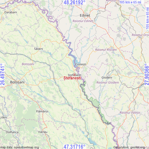
Ștefănești GPS coordinates[2]
47° 47' 30.084" North, 27° 12' 1.908" East
| Map corner | latitude | longitude |
|---|---|---|
| Upper-left | 48.26192°, | 26.49741° |
| Center: | 47.79169°, | 27.20053° |
| Lower-right: | 47.31716°, | 27.90366° |
| Map W x H: | 105×105 km | = 65.2×65.2mi |
| max Lat: | 48.23793° ⇑3.5% North |
| Ștefănești: | 47.79169° |
| min Lat: | ⇓96.5% South 43.65638° |
| min Long | Ștefănești | max Long |
| 20.31667° | 27.20053° | 29.65403° |
| W 86.9%⇐ | ⇒13.1% E |
Elevation
Elevation of Ștefănești is 68 m = 223 ft, and this is 186.9 m = 613 ft below average elevation for this country.
| Max E: |
1278 m = 4193 ft | 87.8% |
| Avg. | 254.9 m = 836 ft | |
| Ștefănești | 68 m = 223 ft | |
Min E: |
-2 m = -7 ft | 12.2% |
See also: Romania elevation on elevation.city.
Geographical zone
Ștefănești is located in North temperate zone (between Tropic of Cancer and the Arctic Circle). Distance of this North polar circle is 2087.2 km =1296.9 mi to North.| Distance of | km | miles | from Ștefănești |
|---|---|---|---|
| North Pole | 4693.1 | 2916.2 | to North |
| Arctic Circle | 2087.2 | 1296.9 | to North |
| Tropic Cancer | 2708 | 1682.7 | to South |
| Equator | 5313.9 | 3301.9 | to South |


Nearby cities:
15 places around Ștefănești: (largest is in red/bold)
• Albeşti
14.3 km =8.9 mi,  224°
224°
• Bobulești
4.9 km =3 mi,  156°
156°
• Băbiceni
10.3 km =6.4 mi,  246°
246°
• Bădiuți
1.1 km =0.7 mi,  145°
145°
• Cucuteni
4.9 km =3 mi, 253°
• Dobârceni
10.4 km =6.5 mi,  285°
285°
• Durneşti
8 km =5 mi, 249°
• Dămideni
11.3 km =7 mi, 159°
• Guranda
10 km =6.2 mi,  260°
260°
• Mihălăşeni
14.3 km =8.9 mi,  315°
315°
• Românești
7.3 km =4.5 mi, 156°
• Stânca
3.5 km =2.2 mi,  6°
6°
• Truşeşti
14 km =8.7 mi, 258°
• Tudor Vladimirescu
11.9 km =7.4 mi,  190°
190°
• Ştefăneşti-Sat
1.6 km =1 mi,  234°
234°
Sources, notices
• [Note1] Compared only with cities in Romania existing in our database
• [Src1] Map data: © OpenStreetMap contributors (CC-BY-SA)
• [Src2] Other city data from geonames.org with taken over terms of usage.
• [Src3] Geographical zone / Annual Mean Temperature by Robert A. Rohde @ Wikipedia
