Șmig geodata
Șmig (Sibiu) is a populated place; located in Romania in Europe/Bucharest (GMT+3) time zone. With population of 996 people, there are 4308 cities with bigger population in this country. Compared to other cities in Romania, 60.2% of cities are located further ↓South; 61% of cities are located further →East and 72.1% of cities have lower elevation than Șmig. Note1


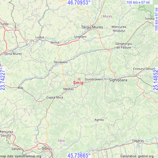
Șmig GPS coordinates[2]
46° 13' 30.9" North, 24° 26' 43.404" East
| Map corner | latitude | longitude |
|---|---|---|
| Upper-left | 46.70953°, | 23.74227° |
| Center: | 46.22525°, | 24.44539° |
| Lower-right: | 45.73665°, | 25.14852° |
| Map W x H: | 108.2×108.2 km | = 67.2×67.2mi |
| max Lat: | 48.23793° ⇑39.8% North |
| Șmig: | 46.22525° |
| min Lat: | ⇓60.2% South 43.65638° |
| min Long | Șmig | max Long |
| 20.31667° | 24.44539° | 29.65403° |
| W 39%⇐ | ⇒61% E |
Elevation
Elevation of Șmig is 334 m = 1096 ft, and this is 79.1 m = 260 ft above average elevation for this country.
| Max E: |
1278 m = 4193 ft | 27.9% |
| Șmig | 334 m 1096 ft | |
| Avg. | 254.9 m = 836 ft | |
Min E: |
-2 m = -7 ft | 72.1% |
See also: Romania elevation on elevation.city.
Geographical zone
Șmig is located in North temperate zone (between Tropic of Cancer and the Arctic Circle). Distance of this North polar circle is 2261.4 km =1405.2 mi to North.| Distance of | km | miles | from Șmig |
|---|---|---|---|
| North Pole | 4867.3 | 3024.4 | to North |
| Arctic Circle | 2261.4 | 1405.2 | to North |
| Tropic Cancer | 2533.8 | 1574.4 | to South |
| Equator | 5139.8 | 3193.7 | to South |


Nearby cities:
15 places around Șmig: (largest is in red/bold)
• Alma
3 km =1.9 mi,  115°
115°
• Aţel
8.5 km =5.3 mi,  168°
168°
• Blăjel
9.9 km =6.2 mi,  264°
264°
• Brateiu
6.9 km =4.3 mi,  198°
198°
• Buzd
10 km =6.2 mi,  193°
193°
• Băgaciu
7.6 km =4.7 mi,  307°
307°
• Curciu
3.6 km =2.2 mi, 305°
• Deleni
9.1 km =5.7 mi,  297°
297°
• Dumbrăveni
9.4 km =5.8 mi,  84°
84°
• Dârlos
5.8 km =3.6 mi,  216°
216°
• Gogan
10.4 km =6.5 mi,  31°
31°
• Hărănglab
9.1 km =5.7 mi,  345°
345°
• Mediaş
9.8 km =6.1 mi,  228°
228°
• Păucea
6.7 km =4.2 mi, 263°
• Șaroș pe Târnave
8.5 km =5.3 mi,  109°
109°
Sources, notices
• [Note1] Compared only with cities in Romania existing in our database
• [Src1] Map data: © OpenStreetMap contributors (CC-BY-SA)
• [Src2] Other city data from geonames.org with taken over terms of usage.
• [Src3] Geographical zone / Annual Mean Temperature by Robert A. Rohde @ Wikipedia
