Negoi geodata
Negoi (Dolj) is a seat of a second-order administrative division; located in Romania in Europe/Bucharest (GMT+3) time zone. With population of 2,351 people, there are 2269 cities with bigger population in this country. Compared to other cities in Romania, 98.2% of cities are located further ↑North; 78.8% of cities are located further →East and 94.7% of cities have higher elevation than Negoi. Note1


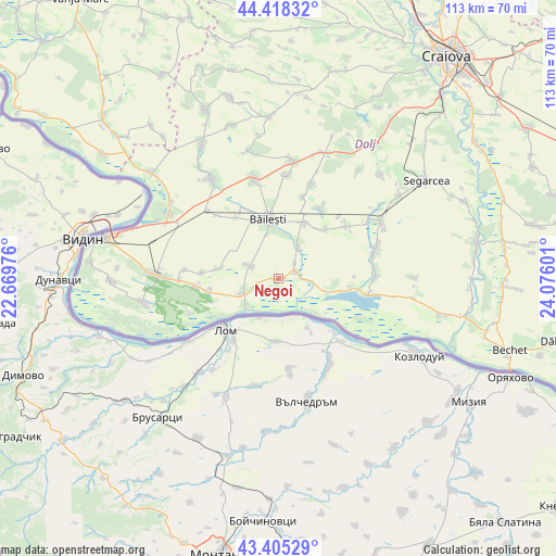
Negoi GPS coordinates[2]
43° 54' 50.256" North, 23° 22' 22.368" East
| Map corner | latitude | longitude |
|---|---|---|
| Upper-left | 44.41832°, | 22.66976° |
| Center: | 43.91396°, | 23.37288° |
| Lower-right: | 43.40529°, | 24.07601° |
| Map W x H: | 112.6×112.6 km | = 70×70mi |
| max Lat: | 48.23793° ⇑98.2% North |
| Negoi: | 43.91396° |
| min Lat: | ⇓1.8% South 43.65638° |
| min Long | Negoi | max Long |
| 20.31667° | 23.37288° | 29.65403° |
| W 21.2%⇐ | ⇒78.8% E |
Elevation
Elevation of Negoi is 36 m = 118 ft, and this is 218.9 m = 718 ft below average elevation for this country.
| Max E: |
1278 m = 4193 ft | 94.7% |
| Avg. | 254.9 m = 836 ft | |
| Negoi | 36 m = 118 ft | |
Min E: |
-2 m = -7 ft | 5.3% |
See also: Romania elevation on elevation.city.
Geographical zone
Negoi is located in North temperate zone (between Tropic of Cancer and the Arctic Circle). Distance of this Northern Tropic circle is 2276.9 km =1414.8 mi to South.| Distance of | km | miles | from Negoi |
|---|---|---|---|
| North Pole | 5124.3 | 3184.1 | to North |
| Arctic Circle | 2518.4 | 1564.9 | to North |
| Tropic Cancer | 2276.9 | 1414.8 | to South |
| Equator | 4882.8 | 3034 | to South |


Nearby cities:
15 places around Negoi: (largest is in red/bold)
• Afumaţi
12.2 km =7.6 mi,  38°
38°
• Bistreț
10.3 km =6.4 mi,  98°
98°
• Bistrețu Nou
8.1 km =5 mi, 100°
• Boureni
12.3 km =7.6 mi,  23°
23°
• Băileşti
11.6 km =7.2 mi,  350°
350°
• Catane
3.4 km =2.1 mi,  65°
65°
• Cioroiu Nou
17.3 km =10.7 mi, 16°
• Covei
7.8 km =4.8 mi,  30°
30°
• Ghidici
14.5 km =9 mi,  259°
259°
• Piscu Nou
15.6 km =9.7 mi,  274°
274°
• Piscu Vechi
16.6 km =10.3 mi, 264°
• Plosca
14.6 km =9.1 mi, 98°
• Rast
7.9 km =4.9 mi,  244°
244°
• Seaca de Câmp
12.7 km =7.9 mi,  279°
279°
• Siliştea Crucii
15.9 km =9.9 mi, 33°
Sources, notices
• [Note1] Compared only with cities in Romania existing in our database
• [Src1] Map data: © OpenStreetMap contributors (CC-BY-SA)
• [Src2] Other city data from geonames.org with taken over terms of usage.
• [Src3] Geographical zone / Annual Mean Temperature by Robert A. Rohde @ Wikipedia
