Decindeni geodata
Decindeni (Dâmboviţa) is a populated place; located in Romania in Europe/Bucharest (GMT+3) time zone. With population of 2,342 people, there are 2274 cities with bigger population in this country. Compared to other cities in Romania, 72.6% of cities are located further ↑North; 51.6% of cities are located further ←West and 68.8% of cities have lower elevation than Decindeni. Note1


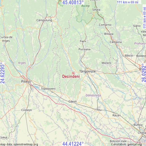
Decindeni GPS coordinates[2]
44° 54' 44.424" North, 25° 19' 33.852" East
| Map corner | latitude | longitude |
|---|---|---|
| Upper-left | 45.40813°, | 24.62295° |
| Center: | 44.91234°, | 25.32607° |
| Lower-right: | 44.41224°, | 26.0292° |
| Map W x H: | 110.7×110.7 km | = 68.8×68.8mi |
| max Lat: | 48.23793° ⇑72.6% North |
| Decindeni: | 44.91234° |
| min Lat: | ⇓27.4% South 43.65638° |
| min Long | Decindeni | max Long |
| 20.31667° | 25.32607° | 29.65403° |
| W 51.6%⇐ | ⇒48.4% E |
Elevation
Elevation of Decindeni is 311 m = 1020 ft, and this is 56.1 m = 184 ft above average elevation for this country.
| Max E: |
1278 m = 4193 ft | 31.2% |
| Decindeni | 311 m 1020 ft | |
| Avg. | 254.9 m = 836 ft | |
Min E: |
-2 m = -7 ft | 68.8% |
See also: Romania elevation on elevation.city.
Geographical zone
Decindeni is located in North temperate zone (between Tropic of Cancer and the Arctic Circle). Distance of this Northern Tropic circle is 2387.9 km =1483.8 mi to South.| Distance of | km | miles | from Decindeni |
|---|---|---|---|
| North Pole | 5013.3 | 3115.1 | to North |
| Arctic Circle | 2407.4 | 1495.9 | to North |
| Tropic Cancer | 2387.9 | 1483.8 | to South |
| Equator | 4993.8 | 3103 | to South |


Nearby cities:
15 places around Decindeni: (largest is in red/bold)
• Butoiu de Sus
6.2 km =3.9 mi,  212°
212°
• Căprioru
8.6 km =5.3 mi,  335°
335°
• Dragomireşti
0.7 km =0.4 mi,  49°
49°
• Drăgăești Ungureni
3.9 km =2.4 mi, 341°
• Gheboieni
8.4 km =5.2 mi,  349°
349°
• Mislea
8.1 km =5 mi,  175°
175°
• Mogoșești
6.6 km =4.1 mi,  120°
120°
• Măneşti
6.9 km =4.3 mi,  330°
330°
• Potocelu
6.6 km =4.1 mi,  250°
250°
• Priseaca
6.2 km =3.9 mi,  78°
78°
• Râncăciov
3.6 km =2.2 mi,  136°
136°
• Teiș
8.2 km =5.1 mi, 47°
• Telești
8 km =5 mi, 253°
• Ungureni
6.9 km =4.3 mi,  131°
131°
• Şotânga
8.5 km =5.3 mi,  22°
22°
Sources, notices
• [Note1] Compared only with cities in Romania existing in our database
• [Src1] Map data: © OpenStreetMap contributors (CC-BY-SA)
• [Src2] Other city data from geonames.org with taken over terms of usage.
• [Src3] Geographical zone / Annual Mean Temperature by Robert A. Rohde @ Wikipedia
