Cotoroaia geodata
Cotoroaia (Mehedinţi) is a populated place; located in Romania in Europe/Bucharest (GMT+3) time zone. With population of 561 people, there are 6492 cities with bigger population in this country. Compared to other cities in Romania, 81.6% of cities are located further ↑North; 83.9% of cities are located further →East and 55.2% of cities have lower elevation than Cotoroaia. Note1


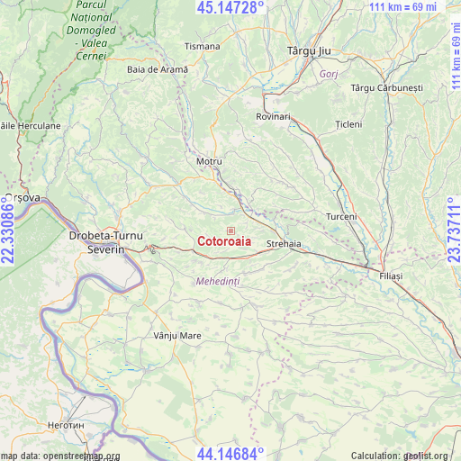
Cotoroaia GPS coordinates[2]
44° 38' 57.192" North, 23° 2' 2.328" East
| Map corner | latitude | longitude |
|---|---|---|
| Upper-left | 45.14728°, | 22.33086° |
| Center: | 44.64922°, | 23.03398° |
| Lower-right: | 44.14684°, | 23.73711° |
| Map W x H: | 111.2×111.2 km | = 69.1×69.1mi |
| max Lat: | 48.23793° ⇑81.6% North |
| Cotoroaia: | 44.64922° |
| min Lat: | ⇓18.4% South 43.65638° |
| min Long | Cotoroaia | max Long |
| 20.31667° | 23.03398° | 29.65403° |
| W 16.1%⇐ | ⇒83.9% E |
Elevation
Elevation of Cotoroaia is 239 m = 784 ft, and this is 15.9 m = 52 ft below average elevation for this country.
| Max E: |
1278 m = 4193 ft | 44.8% |
| Avg. | 254.9 m = 836 ft | |
| Cotoroaia | 239 m = 784 ft | |
Min E: |
-2 m = -7 ft | 55.2% |
See also: Romania elevation on elevation.city.
Geographical zone
Cotoroaia is located in North temperate zone (between Tropic of Cancer and the Arctic Circle). Distance of this Northern Tropic circle is 2358.6 km =1465.6 mi to South.| Distance of | km | miles | from Cotoroaia |
|---|---|---|---|
| North Pole | 5042.5 | 3133.3 | to North |
| Arctic Circle | 2436.6 | 1514 | to North |
| Tropic Cancer | 2358.6 | 1465.6 | to South |
| Equator | 4964.5 | 3084.8 | to South |


Nearby cities:
15 places around Cotoroaia: (largest is in red/bold)
• Ciochiuța
8.3 km =5.2 mi,  128°
128°
• Comanda
10.3 km =6.4 mi,  90°
90°
• Corcova
5.8 km =3.6 mi,  12°
12°
• Cordun
4.2 km =2.6 mi, 11°
• Jirov
4.8 km =3 mi,  59°
59°
• Lupșa de Jos
9.6 km =6 mi,  341°
341°
• Lupșa de Sus
11.5 km =7.1 mi,  323°
323°
• Miluta
12.6 km =7.8 mi, 61°
• Prunişor
10.4 km =6.5 mi,  244°
244°
• Samarineşti
11.3 km =7 mi, 6°
• Severinești
8.5 km =5.3 mi,  305°
305°
• Tâmna
9.3 km =5.8 mi,  188°
188°
• Valea Ursului
6.8 km =4.2 mi,  165°
165°
• Voloiac
6.4 km =4 mi,  124°
124°
• Văgiuleşti
8.5 km =5.3 mi,  27°
27°
Sources, notices
• [Note1] Compared only with cities in Romania existing in our database
• [Src1] Map data: © OpenStreetMap contributors (CC-BY-SA)
• [Src2] Other city data from geonames.org with taken over terms of usage.
• [Src3] Geographical zone / Annual Mean Temperature by Robert A. Rohde @ Wikipedia
