Buzești geodata
Buzești (Maramureş) is a populated place; located in Romania in Europe/Bucharest (GMT+3) time zone. With population of 600 people, there are 6202 cities with bigger population in this country. Compared to other cities in Romania, 93.1% of cities are located further ↓South; 79.1% of cities are located further →East and 58.1% of cities have higher elevation than Buzești. Note1


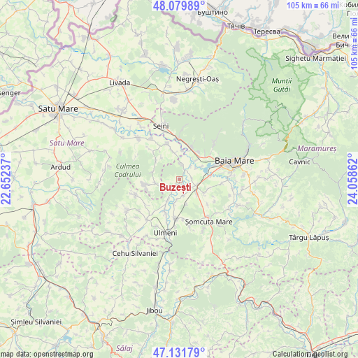
Buzești GPS coordinates[2]
47° 36' 28.764" North, 23° 21' 19.764" East
| Map corner | latitude | longitude |
|---|---|---|
| Upper-left | 48.07989°, | 22.65237° |
| Center: | 47.60799°, | 23.35549° |
| Lower-right: | 47.13179°, | 24.05862° |
| Map W x H: | 105.4×105.4 km | = 65.5×65.5mi |
| max Lat: | 48.23793° ⇑6.9% North |
| Buzești: | 47.60799° |
| min Lat: | ⇓93.1% South 43.65638° |
| min Long | Buzești | max Long |
| 20.31667° | 23.35549° | 29.65403° |
| W 20.9%⇐ | ⇒79.1% E |
Elevation
Elevation of Buzești is 173 m = 568 ft, and this is 81.9 m = 269 ft below average elevation for this country.
| Max E: |
1278 m = 4193 ft | 58.1% |
| Avg. | 254.9 m = 836 ft | |
| Buzești | 173 m = 568 ft | |
Min E: |
-2 m = -7 ft | 41.9% |
See also: Romania elevation on elevation.city.
Geographical zone
Buzești is located in North temperate zone (between Tropic of Cancer and the Arctic Circle). Distance of this North polar circle is 2107.7 km =1309.7 mi to North.| Distance of | km | miles | from Buzești |
|---|---|---|---|
| North Pole | 4713.5 | 2928.8 | to North |
| Arctic Circle | 2107.7 | 1309.7 | to North |
| Tropic Cancer | 2687.6 | 1670 | to South |
| Equator | 5293.5 | 3289.2 | to South |


Nearby cities:
15 places around Buzești: (largest is in red/bold)
• Ardusat
4.7 km =2.9 mi,  10°
10°
• Borlești
7.9 km =4.9 mi,  349°
349°
• Bozânta Mare
7.4 km =4.6 mi,  61°
61°
• Bușag
7.8 km =4.8 mi,  43°
43°
• Bârsău de Jos
7 km =4.3 mi,  258°
258°
• Fersig
7.8 km =4.8 mi,  164°
164°
• Fărcaşa
3.2 km =2 mi,  211°
211°
• Gârdani
7.2 km =4.5 mi, 209°
• Hideaga
5.3 km =3.3 mi,  111°
111°
• Lucăcești
7.7 km =4.8 mi,  191°
191°
• Mogoșești
4.4 km =2.7 mi,  131°
131°
• Pribilești
4.9 km =3 mi, 164°
• Satulung
7.4 km =4.6 mi, 128°
• Sârbi
1.8 km =1.1 mi, 210°
• Tămaia
1.8 km =1.1 mi,  153°
153°
Sources, notices
• [Note1] Compared only with cities in Romania existing in our database
• [Src1] Map data: © OpenStreetMap contributors (CC-BY-SA)
• [Src2] Other city data from geonames.org with taken over terms of usage.
• [Src3] Geographical zone / Annual Mean Temperature by Robert A. Rohde @ Wikipedia
