Botiza geodata
Botiza (Maramureş) is a seat of a second-order administrative division; located in Romania in Europe/Bucharest (GMT+3) time zone. With population of 2,949 people, there are 1818 cities with bigger population in this country. Compared to other cities in Romania, 94.3% of cities are located further ↓South; 67% of cities are located further →East and 88% of cities have lower elevation than Botiza. Note1


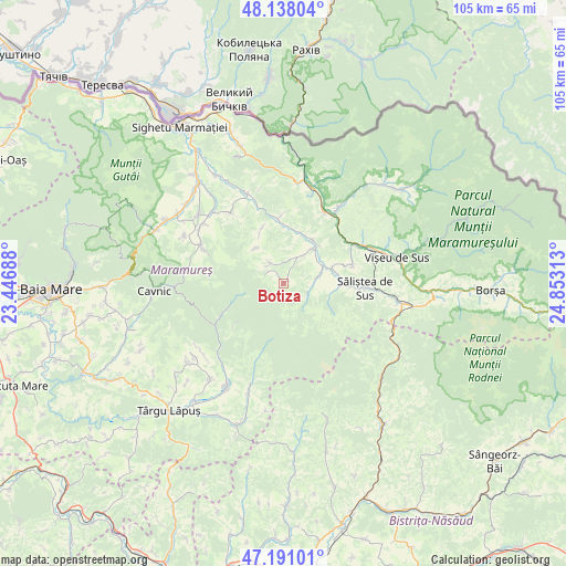
Botiza GPS coordinates[2]
47° 40' 0.012" North, 24° 9' 0" East
| Map corner | latitude | longitude |
|---|---|---|
| Upper-left | 48.13804°, | 23.44688° |
| Center: | 47.66667°, | 24.15° |
| Lower-right: | 47.19101°, | 24.85313° |
| Map W x H: | 105.3×105.3 km | = 65.4×65.4mi |
| max Lat: | 48.23793° ⇑5.7% North |
| Botiza: | 47.66667° |
| min Lat: | ⇓94.3% South 43.65638° |
| min Long | Botiza | max Long |
| 20.31667° | 24.15° | 29.65403° |
| W 33%⇐ | ⇒67% E |
Elevation
Elevation of Botiza is 483 m = 1585 ft, and this is 228.1 m = 748 ft above average elevation for this country.
| Max E: |
1278 m = 4193 ft | 12% |
| Botiza | 483 m 1585 ft | |
| Avg. | 254.9 m = 836 ft | |
Min E: |
-2 m = -7 ft | 88% |
See also: Romania elevation on elevation.city.
Geographical zone
Botiza is located in North temperate zone (between Tropic of Cancer and the Arctic Circle). Distance of this North polar circle is 2101.1 km =1305.6 mi to North.| Distance of | km | miles | from Botiza |
|---|---|---|---|
| North Pole | 4707 | 2924.8 | to North |
| Arctic Circle | 2101.1 | 1305.6 | to North |
| Tropic Cancer | 2694.1 | 1674 | to South |
| Equator | 5300 | 3293.3 | to South |


Nearby cities:
15 places around Botiza: (largest is in red/bold)
• Bocicoel
13.1 km =8.1 mi,  75°
75°
• Bogdan Vodă
9.1 km =5.7 mi,  72°
72°
• Budeşti
16.7 km =10.4 mi,  296°
296°
• Băiuţ
12.5 km =7.8 mi,  243°
243°
• Dragomireşti
10.6 km =6.6 mi,  88°
88°
• Ieud
6.4 km =4 mi, 78°
• Leordina
15 km =9.3 mi,  29°
29°
• Poienile Izei
4.5 km =2.8 mi,  326°
326°
• Rozavlea
8.9 km =5.5 mi, 33°
• Ruscova
17.3 km =10.7 mi,  35°
35°
• Slătioara
10.7 km =6.6 mi,  336°
336°
• Strâmtura
13 km =8.1 mi,  354°
354°
• Săliştea de Sus
15.1 km =9.4 mi,  97°
97°
• Văleni
16.6 km =10.3 mi,  322°
322°
• Șieu
8.5 km =5.3 mi, 40°
Sources, notices
• [Note1] Compared only with cities in Romania existing in our database
• [Src1] Map data: © OpenStreetMap contributors (CC-BY-SA)
• [Src2] Other city data from geonames.org with taken over terms of usage.
• [Src3] Geographical zone / Annual Mean Temperature by Robert A. Rohde @ Wikipedia
