Bogdana geodata
Bogdana (Teleorman) is a seat of a second-order administrative division; located in Romania in Europe/Bucharest (GMT+3) time zone. With population of 2,970 people, there are 1795 cities with bigger population in this country. Compared to other cities in Romania, 98% of cities are located further ↑North; 51.6% of cities are located further →East and 84.7% of cities have higher elevation than Bogdana. Note1


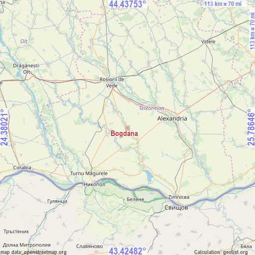
Bogdana GPS coordinates[2]
43° 55' 59.988" North, 25° 4' 59.988" East
| Map corner | latitude | longitude |
|---|---|---|
| Upper-left | 44.43753°, | 24.38021° |
| Center: | 43.93333°, | 25.08333° |
| Lower-right: | 43.42482°, | 25.78646° |
| Map W x H: | 112.6×112.6 km | = 70×70mi |
| max Lat: | 48.23793° ⇑98% North |
| Bogdana: | 43.93333° |
| min Lat: | ⇓2% South 43.65638° |
| min Long | Bogdana | max Long |
| 20.31667° | 25.08333° | 29.65403° |
| W 48.4%⇐ | ⇒51.6% E |
Elevation
Elevation of Bogdana is 79 m = 259 ft, and this is 175.9 m = 577 ft below average elevation for this country.
| Max E: |
1278 m = 4193 ft | 84.7% |
| Avg. | 254.9 m = 836 ft | |
| Bogdana | 79 m = 259 ft | |
Min E: |
-2 m = -7 ft | 15.3% |
See also: Romania elevation on elevation.city.
Geographical zone
Bogdana is located in North temperate zone (between Tropic of Cancer and the Arctic Circle). Distance of this Northern Tropic circle is 2279 km =1416.1 mi to South.| Distance of | km | miles | from Bogdana |
|---|---|---|---|
| North Pole | 5122.1 | 3182.7 | to North |
| Arctic Circle | 2516.2 | 1563.5 | to North |
| Tropic Cancer | 2279 | 1416.1 | to South |
| Equator | 4884.9 | 3035.3 | to South |


Nearby cities:
15 places around Bogdana: (largest is in red/bold)
• Băduleasa
8.1 km =5 mi,  261°
261°
• Băneasa
10.7 km =6.6 mi,  273°
273°
• Crângu
9.7 km =6 mi,  184°
184°
• Cârlomanu
10.1 km =6.3 mi, 259°
• Dracea
9.7 km =6 mi,  195°
195°
• Furculești
8.3 km =5.2 mi,  145°
145°
• Moșteni
9.3 km =5.8 mi, 149°
• Plosca
11.8 km =7.3 mi,  19°
19°
• Putineiu
10.1 km =6.3 mi,  248°
248°
• Secara
10 km =6.2 mi, 177°
• Spătărei
6.6 km =4.1 mi,  139°
139°
• Troianul
10 km =6.2 mi,  318°
318°
• Ulmeni
3.8 km =2.4 mi,  155°
155°
• Urluiu
3.4 km =2.1 mi, 315°
• Voievoda
11.1 km =6.9 mi, 156°
Sources, notices
• [Note1] Compared only with cities in Romania existing in our database
• [Src1] Map data: © OpenStreetMap contributors (CC-BY-SA)
• [Src2] Other city data from geonames.org with taken over terms of usage.
• [Src3] Geographical zone / Annual Mean Temperature by Robert A. Rohde @ Wikipedia
