Bistrița geodata
Bistrița (Mehedinţi) is a populated place; located in Romania in Europe/Bucharest (GMT+3) time zone. With population of 1,370 people, there are 3395 cities with bigger population in this country. Compared to other cities in Romania, 83.1% of cities are located further ↑North; 87.3% of cities are located further →East and 78.4% of cities have higher elevation than Bistrița. Note1


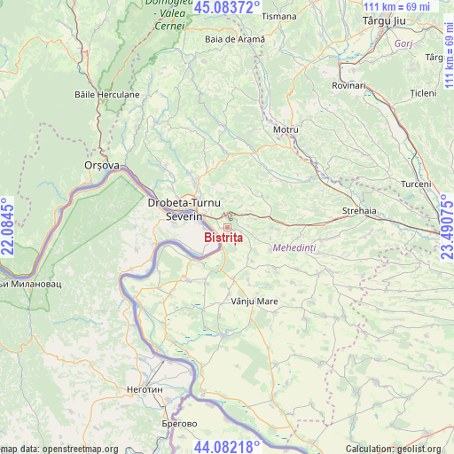
Bistrița GPS coordinates[2]
44° 35' 6.396" North, 22° 47' 15.432" East
| Map corner | latitude | longitude |
|---|---|---|
| Upper-left | 45.08372°, | 22.0845° |
| Center: | 44.58511°, | 22.78762° |
| Lower-right: | 44.08218°, | 23.49075° |
| Map W x H: | 111.4×111.4 km | = 69.2×69.2mi |
| max Lat: | 48.23793° ⇑83.1% North |
| Bistrița: | 44.58511° |
| min Lat: | ⇓16.9% South 43.65638° |
| min Long | Bistrița | max Long |
| 20.31667° | 22.78762° | 29.65403° |
| W 12.7%⇐ | ⇒87.3% E |
Elevation
Elevation of Bistrița is 100 m = 328 ft, and this is 154.9 m = 508 ft below average elevation for this country.
| Max E: |
1278 m = 4193 ft | 78.4% |
| Avg. | 254.9 m = 836 ft | |
| Bistrița | 100 m = 328 ft | |
Min E: |
-2 m = -7 ft | 21.6% |
See also: Romania elevation on elevation.city.
Geographical zone
Bistrița is located in North temperate zone (between Tropic of Cancer and the Arctic Circle). Distance of this Northern Tropic circle is 2351.5 km =1461.2 mi to South.| Distance of | km | miles | from Bistrița |
|---|---|---|---|
| North Pole | 5049.7 | 3137.7 | to North |
| Arctic Circle | 2443.8 | 1518.5 | to North |
| Tropic Cancer | 2351.5 | 1461.2 | to South |
| Equator | 4957.4 | 3080.4 | to South |


Nearby cities:
15 places around Bistrița: (largest is in red/bold)
• Cerneți
8.3 km =5.2 mi,  311°
311°
• Drobeta-Turnu Severin
11.6 km =7.2 mi,  293°
293°
• Dudașu
10.4 km =6.5 mi,  316°
316°
• Halânga
13.2 km =8.2 mi, 324°
• Hinova
5 km =3.1 mi,  189°
189°
• Husnicioara
11.2 km =7 mi,  22°
22°
• Livezile
10.1 km =6.3 mi,  143°
143°
• Magheru
14.6 km =9.1 mi,  301°
301°
• Malovăţ
14 km =8.7 mi,  341°
341°
• Poroina Mare
15.5 km =9.6 mi,  130°
130°
• Prunişor
10.5 km =6.5 mi,  75°
75°
• Rogova
12.7 km =7.9 mi,  173°
173°
• Scăpău
14.4 km =8.9 mi,  200°
200°
• Traian
15 km =9.3 mi,  158°
158°
• Şimian
7.1 km =4.4 mi, 296°
Sources, notices
• [Note1] Compared only with cities in Romania existing in our database
• [Src1] Map data: © OpenStreetMap contributors (CC-BY-SA)
• [Src2] Other city data from geonames.org with taken over terms of usage.
• [Src3] Geographical zone / Annual Mean Temperature by Robert A. Rohde @ Wikipedia
