Chuguyevka geodata
Chuguyevka (Primorskiy (Maritime) Kray) is a populated place; located in Russia in Asia/Vladivostok (GMT+10) time zone. With population of 13,354 people, there are 1180 cities with bigger population in this country. Compared to other cities in Russia, 91% of cities are located further ↑North; 96.6% of cities are located further ←West and 81.5% of cities have lower elevation than Chuguyevka. Note1


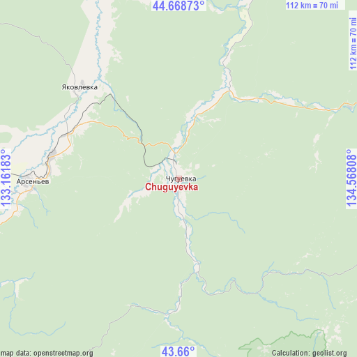
Chuguyevka GPS coordinates[2]
44° 9' 59.472" North, 133° 51' 53.82" East
| Map corner | latitude | longitude |
|---|---|---|
| Upper-left | 44.66873°, | 133.16183° |
| Center: | 44.16652°, | 133.86495° |
| Lower-right: | 43.66°, | 134.56808° |
| Map W x H: | 112.2×112.2 km | = 69.7×69.7mi |
| max Lat: | 73.50819° ⇑91% North |
| Chuguyevka: | 44.16652° |
| min Lat: | ⇓9% South 41.28413° |
| min Long | Chuguyevka | max Long |
| -179.12198° | 133.86495° | 179.35046° |
| W 96.6%⇐ | ⇒3.4% E |
Elevation
Elevation of Chuguyevka is 266 m = 873 ft, and this is 63.4 m = 208 ft above average elevation for this country.
| Max E: |
2518 m = 8261 ft | 18.5% |
| Chuguyevka | 266 m 873 ft | |
| Avg. | 202.6 m = 665 ft | |
Min E: |
-28 m = -92 ft | 81.5% |
See also: Russia elevation on elevation.city.
Geographical zone
Chuguyevka is located in North temperate zone (between Tropic of Cancer and the Arctic Circle). Distance of this Northern Tropic circle is 2304.9 km =1432.2 mi to South.| Distance of | km | miles | from Chuguyevka |
|---|---|---|---|
| North Pole | 5096.2 | 3166.6 | to North |
| Arctic Circle | 2490.3 | 1547.4 | to North |
| Tropic Cancer | 2304.9 | 1432.2 | to South |
| Equator | 4910.9 | 3051.5 | to South |


Nearby cities:
15 places around Chuguyevka: (largest is in red/bold)
• Anuchino
68.2 km =42.4 mi,  250°
250°
• Arsen’yev
46.9 km =29.1 mi,  268°
268°
• Chernyshëvka
58.6 km =36.4 mi, 273°
• Chkalovskoye
99.1 km =61.6 mi,  318°
318°
• Dostoyevka
35.3 km =21.9 mi,  300°
300°
• Grazhdanka
55.1 km =34.2 mi,  275°
275°
• Kavalerovo
95.3 km =59.2 mi,  82°
82°
• Lazo
86.9 km =54 mi,  177°
177°
• Novosysoyevka
40.6 km =25.2 mi, 280°
• Rettikhovka
87.3 km =54.2 mi, 270°
• Rudnyy
88.2 km =54.8 mi, 81°
• Sergeyevka
99.5 km =61.8 mi,  204°
204°
• Spassk-Dal’niy
95.5 km =59.3 mi, 300°
• Spasskoye
98.1 km =61 mi, 300°
• Yakovlevka
42.4 km =26.3 mi,  312°
312°
Sources, notices
• [Note1] Compared only with cities in Russia existing in our database
• [Src1] Map data: © OpenStreetMap contributors (CC-BY-SA)
• [Src2] Other city data from geonames.org with taken over terms of usage.
• [Src3] Geographical zone / Annual Mean Temperature by Robert A. Rohde @ Wikipedia
