Yasnogorsk geodata
Yasnogorsk (Tula) is a populated place; located in Russia in Europe/Moscow (GMT+3) time zone. With population of 18,022 people, there are 950 cities with bigger population in this country. Compared to other cities in Russia, 51.2% of cities are located further ↑North; 79.7% of cities are located further →East and 80.5% of cities have lower elevation than Yasnogorsk. Note1


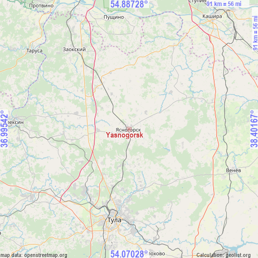
Yasnogorsk GPS coordinates[2]
54° 28' 50.952" North, 37° 41' 54.744" East
| Map corner | latitude | longitude |
|---|---|---|
| Upper-left | 54.88728°, | 36.99542° |
| Center: | 54.48082°, | 37.69854° |
| Lower-right: | 54.07028°, | 38.40167° |
| Map W x H: | 90.8×90.8 km | = 56.4×56.4mi |
| max Lat: | 73.50819° ⇑51.2% North |
| Yasnogorsk: | 54.48082° |
| min Lat: | ⇓48.8% South 41.28413° |
| min Long | Yasnogorsk | max Long |
| -179.12198° | 37.69854° | 179.35046° |
| W 20.3%⇐ | ⇒79.7% E |
Elevation
Elevation of Yasnogorsk is 252 m = 827 ft, and this is 49.4 m = 162 ft above average elevation for this country.
| Max E: |
2518 m = 8261 ft | 19.5% |
| Yasnogorsk | 252 m 827 ft | |
| Avg. | 202.6 m = 665 ft | |
Min E: |
-28 m = -92 ft | 80.5% |
See also: Russia elevation on elevation.city.
Geographical zone
Yasnogorsk is located in North temperate zone (between Tropic of Cancer and the Arctic Circle). Distance of this North polar circle is 1343.5 km =834.8 mi to North.| Distance of | km | miles | from Yasnogorsk |
|---|---|---|---|
| North Pole | 3949.4 | 2454 | to North |
| Arctic Circle | 1343.5 | 834.8 | to North |
| Tropic Cancer | 3451.8 | 2144.8 | to South |
| Equator | 6057.7 | 3764.1 | to South |


Nearby cities:
15 places around Yasnogorsk: (largest is in red/bold)
• Aleksin
40.8 km =25.4 mi,  273°
273°
• Barsuki
27.6 km =17.1 mi,  209°
209°
• Bol’shoye Gryzlovo
35.7 km =22.2 mi,  353°
353°
• Gorelki
25.6 km =15.9 mi,  192°
192°
• Kosaya Gora
41.5 km =25.8 mi, 193°
• Leninskiy
26.5 km =16.5 mi,  215°
215°
• Mendeleyevskiy
38.9 km =24.2 mi, 190°
• Novogurovskiy
23.4 km =14.5 mi, 266°
• Pushchino
39.6 km =24.6 mi, 351°
• Revyakino
13.1 km =8.1 mi, 190°
• Rozhdestvenskiy
22.2 km =13.8 mi,  201°
201°
• Strakhovo
39.8 km =24.7 mi,  315°
315°
• Tula
32.1 km =19.9 mi, 189°
• Venëv
39.4 km =24.5 mi,  110°
110°
• Zaokskiy
33.7 km =20.9 mi,  325°
325°
Sources, notices
• [Note1] Compared only with cities in Russia existing in our database
• [Src1] Map data: © OpenStreetMap contributors (CC-BY-SA)
• [Src2] Other city data from geonames.org with taken over terms of usage.
• [Src3] Geographical zone / Annual Mean Temperature by Robert A. Rohde @ Wikipedia
