Voznesen’ye geodata
Voznesen’ye (Leningradskaya Oblast') is a populated place; located in Russia in Europe/Moscow (GMT+3) time zone. With population of 2,673 people, there are 3897 cities with bigger population in this country. Compared to other cities in Russia, 92.9% of cities are located further ↓South; 88.4% of cities are located further →East and 92.2% of cities have higher elevation than Voznesen’ye. Note1


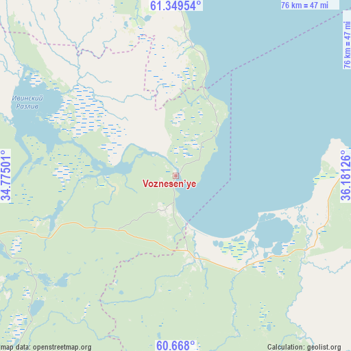
Voznesen’ye GPS coordinates[2]
61° 0' 38.16" North, 35° 28' 41.268" East
| Map corner | latitude | longitude |
|---|---|---|
| Upper-left | 61.34954°, | 34.77501° |
| Center: | 61.0106°, | 35.47813° |
| Lower-right: | 60.668°, | 36.18126° |
| Map W x H: | 75.8×75.8 km | = 47.1×47.1mi |
| max Lat: | 73.50819° ⇑7.1% North |
| Voznesen’ye: | 61.0106° |
| min Lat: | ⇓92.9% South 41.28413° |
| min Long | Voznesen’ye | max Long |
| -179.12198° | 35.47813° | 179.35046° |
| W 11.6%⇐ | ⇒88.4% E |
Elevation
Elevation of Voznesen’ye is 21 m = 69 ft, and this is 181.6 m = 596 ft below average elevation for this country.
| Max E: |
2518 m = 8261 ft | 92.2% |
| Avg. | 202.6 m = 665 ft | |
| Voznesen’ye | 21 m = 69 ft | |
Min E: |
-28 m = -92 ft | 7.8% |
See also: Russia elevation on elevation.city.
Geographical zone
Voznesen’ye is located in North temperate zone (between Tropic of Cancer and the Arctic Circle). Distance of this North polar circle is 617.4 km =383.6 mi to North.| Distance of | km | miles | from Voznesen’ye |
|---|---|---|---|
| North Pole | 3223.3 | 2002.9 | to North |
| Arctic Circle | 617.4 | 383.6 | to North |
| Tropic Cancer | 4177.8 | 2596 | to South |
| Equator | 6783.7 | 4215.2 | to South |


Nearby cities:
15 places around Voznesen’ye: (largest is in red/bold)
• Kvartsitnyy
58.8 km =36.5 mi,  335°
335°
• Lodeynoye Pole
108.9 km =67.7 mi,  253°
253°
• Matrosy
123.2 km =76.6 mi,  313°
313°
• Petrozavodsk
105.1 km =65.3 mi,  325°
325°
• Podporozh’ye
71.4 km =44.4 mi,  261°
261°
• Pudozh
104.4 km =64.9 mi,  32°
32°
• Shal’skiy
92 km =57.2 mi,  18°
18°
• Sheltozero
40 km =24.9 mi,  351°
351°
• Shuya
123.8 km =76.9 mi, 327°
• Svir'stroy
98.1 km =61 mi, 256°
• Vazhiny
78.7 km =48.9 mi,  266°
266°
• Vinnitsy
57.1 km =35.5 mi,  221°
221°
• Vytegra
52.3 km =32.5 mi,  90°
90°
• Yaroslavichi
78.1 km =48.5 mi, 222°
• Zubovo
112 km =69.6 mi,  133°
133°
Sources, notices
• [Note1] Compared only with cities in Russia existing in our database
• [Src1] Map data: © OpenStreetMap contributors (CC-BY-SA)
• [Src2] Other city data from geonames.org with taken over terms of usage.
• [Src3] Geographical zone / Annual Mean Temperature by Robert A. Rohde @ Wikipedia
