Zubovo geodata
Zubovo (Vologda) is a populated place; located in Russia in Europe/Moscow (GMT+3) time zone. With population of 2,209 people, there are 4069 cities with bigger population in this country. Compared to other cities in Russia, 91.7% of cities are located further ↓South; 85% of cities are located further →East and 65% of cities have higher elevation than Zubovo. Note1


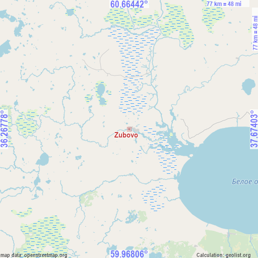
Zubovo GPS coordinates[2]
60° 19' 5.16" North, 36° 58' 15.24" East
| Map corner | latitude | longitude |
|---|---|---|
| Upper-left | 60.66442°, | 36.26778° |
| Center: | 60.3181°, | 36.9709° |
| Lower-right: | 59.96806°, | 37.67403° |
| Map W x H: | 77.4×77.4 km | = 48.1×48.1mi |
| max Lat: | 73.50819° ⇑8.3% North |
| Zubovo: | 60.3181° |
| min Lat: | ⇓91.7% South 41.28413° |
| min Long | Zubovo | max Long |
| -179.12198° | 36.9709° | 179.35046° |
| W 15%⇐ | ⇒85% E |
Elevation
Elevation of Zubovo is 114 m = 374 ft, and this is 88.6 m = 291 ft below average elevation for this country.
| Max E: |
2518 m = 8261 ft | 65% |
| Avg. | 202.6 m = 665 ft | |
| Zubovo | 114 m = 374 ft | |
Min E: |
-28 m = -92 ft | 35% |
See also: Russia elevation on elevation.city.
Geographical zone
Zubovo is located in North temperate zone (between Tropic of Cancer and the Arctic Circle). Distance of this North polar circle is 694.4 km =431.5 mi to North.| Distance of | km | miles | from Zubovo |
|---|---|---|---|
| North Pole | 3300.3 | 2050.7 | to North |
| Arctic Circle | 694.4 | 431.5 | to North |
| Tropic Cancer | 4100.8 | 2548.1 | to South |
| Equator | 6706.7 | 4167.3 | to South |


Nearby cities:
15 places around Zubovo: (largest is in red/bold)
• Babayevo
117.9 km =73.3 mi,  209°
209°
• Belozërsk
56.4 km =35 mi,  124°
124°
• Ferapontovo
97.2 km =60.4 mi,  114°
114°
• Goritsy
87.2 km =54.2 mi, 124°
• Kaduy
124.7 km =77.5 mi,  175°
175°
• Khokhlovo
132.2 km =82.1 mi,  169°
169°
• Kirillov
93.1 km =57.8 mi, 122°
• Kuzino
95.7 km =59.5 mi,  128°
128°
• Lipin Bor
55.9 km =34.7 mi,  96°
96°
• Nelazskoye
131 km =81.4 mi,  163°
163°
• Suda
133.7 km =83.1 mi, 165°
• Tonshalovo
136.3 km =84.7 mi, 156°
• Vinnitsy
125.3 km =77.9 mi,  285°
285°
• Voznesen’ye
112 km =69.6 mi,  313°
313°
• Vytegra
81.7 km =50.8 mi,  339°
339°
Sources, notices
• [Note1] Compared only with cities in Russia existing in our database
• [Src1] Map data: © OpenStreetMap contributors (CC-BY-SA)
• [Src2] Other city data from geonames.org with taken over terms of usage.
• [Src3] Geographical zone / Annual Mean Temperature by Robert A. Rohde @ Wikipedia
