Ust’-Donetskiy geodata
Ust’-Donetskiy (Rostov) is a seat of a second-order administrative division; located in Russia in Europe/Moscow (GMT+3) time zone. With population of 11,357 people, there are 1336 cities with bigger population in this country. Compared to other cities in Russia, 81% of cities are located further ↑North; 63.5% of cities are located further →East and 80.6% of cities have higher elevation than Ust’-Donetskiy. Note1


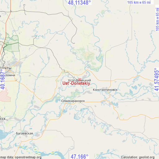
Ust’-Donetskiy GPS coordinates[2]
47° 38' 30.804" North, 40° 52' 18.552" East
| Map corner | latitude | longitude |
|---|---|---|
| Upper-left | 48.11348°, | 40.1687° |
| Center: | 47.64189°, | 40.87182° |
| Lower-right: | 47.166°, | 41.57495° |
| Map W x H: | 105.3×105.3 km | = 65.4×65.4mi |
| max Lat: | 73.50819° ⇑81% North |
| Ust’-Donetskiy: | 47.64189° |
| min Lat: | ⇓19% South 41.28413° |
| min Long | Ust’-Donetski | max Long |
| -179.12198° | 40.87182° | 179.35046° |
| W 36.5%⇐ | ⇒63.5% E |
Elevation
Elevation of Ust’-Donetskiy is 69 m = 226 ft, and this is 133.6 m = 438 ft below average elevation for this country.
| Max E: |
2518 m = 8261 ft | 80.6% |
| Avg. | 202.6 m = 665 ft | |
| Ust’-Donetskiy | 69 m = 226 ft | |
Min E: |
-28 m = -92 ft | 19.4% |
See also: Russia elevation on elevation.city.
Geographical zone
Ust’-Donetskiy is located in North temperate zone (between Tropic of Cancer and the Arctic Circle). Distance of this North polar circle is 2103.9 km =1307.3 mi to North.| Distance of | km | miles | from Ust’-Donetskiy |
|---|---|---|---|
| North Pole | 4709.8 | 2926.5 | to North |
| Arctic Circle | 2103.9 | 1307.3 | to North |
| Tropic Cancer | 2691.4 | 1672.4 | to South |
| Equator | 5297.3 | 3291.6 | to South |


Nearby cities:
15 places around Ust’-Donetskiy: (largest is in red/bold)
• Ayutinskiy
56.4 km =35 mi,  286°
286°
• Bagayevskaya
50.7 km =31.5 mi,  225°
225°
• Donskoy
52.6 km =32.7 mi,  241°
241°
• Gornyy
53.6 km =33.3 mi, 291°
• Kamenolomni
50 km =31.1 mi,  273°
273°
• Konstantinovsk
17.8 km =11.1 mi,  111°
111°
• Krasyukovskaya
58.1 km =36.1 mi,  260°
260°
• Krivyanskaya
59.5 km =37 mi, 242°
• Mayskiy
57.9 km =36 mi,  275°
275°
• Melikhovskaya
34 km =21.1 mi, 238°
• Nikolayevskaya
47.3 km =29.4 mi,  93°
93°
• Novosvetlovsky
51.6 km =32.1 mi, 270°
• Semikarakorsk
14.8 km =9.2 mi,  199°
199°
• Shakhty
49.8 km =30.9 mi, 278°
• Sinegorskiy
41.4 km =25.7 mi,  357°
357°
Sources, notices
• [Note1] Compared only with cities in Russia existing in our database
• [Src1] Map data: © OpenStreetMap contributors (CC-BY-SA)
• [Src2] Other city data from geonames.org with taken over terms of usage.
• [Src3] Geographical zone / Annual Mean Temperature by Robert A. Rohde @ Wikipedia
