Pikalëvo geodata
Pikalëvo (Leningradskaya Oblast') is a populated place; located in Russia in Europe/Moscow (GMT+3) time zone. With population of 22,072 people, there are 814 cities with bigger population in this country. Compared to other cities in Russia, 87.9% of cities are located further ↓South; 90.3% of cities are located further →East and 65.9% of cities have lower elevation than Pikalëvo. Note1


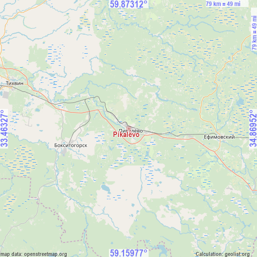
Pikalëvo GPS coordinates[2]
59° 31' 5.988" North, 34° 9' 59.004" East
| Map corner | latitude | longitude |
|---|---|---|
| Upper-left | 59.87312°, | 33.46327° |
| Center: | 59.51833°, | 34.16639° |
| Lower-right: | 59.15977°, | 34.86952° |
| Map W x H: | 79.3×79.3 km | = 49.3×49.3mi |
| max Lat: | 73.50819° ⇑12.1% North |
| Pikalëvo: | 59.51833° |
| min Lat: | ⇓87.9% South 41.28413° |
| min Long | Pikalëvo | max Long |
| -179.12198° | 34.16639° | 179.35046° |
| W 9.7%⇐ | ⇒90.3% E |
Elevation
Elevation of Pikalëvo is 184 m = 604 ft, and this is 18.6 m = 61 ft below average elevation for this country.
| Max E: |
2518 m = 8261 ft | 34.1% |
| Avg. | 202.6 m = 665 ft | |
| Pikalëvo | 184 m = 604 ft | |
Min E: |
-28 m = -92 ft | 65.9% |
See also: Russia elevation on elevation.city.
Geographical zone
Pikalëvo is located in North temperate zone (between Tropic of Cancer and the Arctic Circle). Distance of this North polar circle is 783.4 km =486.8 mi to North.| Distance of | km | miles | from Pikalëvo |
|---|---|---|---|
| North Pole | 3389.2 | 2106 | to North |
| Arctic Circle | 783.4 | 486.8 | to North |
| Tropic Cancer | 4011.9 | 2492.9 | to South |
| Equator | 6617.8 | 4112.1 | to South |


Nearby cities:
15 places around Pikalëvo: (largest is in red/bold)
• Babayevo
101 km =62.8 mi,  97°
97°
• Boksitogorsk
18.6 km =11.6 mi,  254°
254°
• Budogoshch’
99.5 km =61.8 mi, 254°
• Chagoda
76.8 km =47.7 mi,  120°
120°
• Kholm
79.6 km =49.5 mi, 249°
• Khvalovo
93.2 km =57.9 mi,  300°
300°
• Khvoynaya
71.9 km =44.7 mi,  163°
163°
• Kolchanovo
104.3 km =64.8 mi, 302°
• Konchanskoye-Suvorovskoye
96.1 km =59.7 mi,  183°
183°
• Lyubytino
90.1 km =56 mi,  209°
209°
• Nebolchi
64 km =39.8 mi,  226°
226°
• Sazonovo
76.6 km =47.6 mi,  128°
128°
• Tikhvin
38.5 km =23.9 mi,  291°
291°
• Yefimovskiy
28.6 km =17.8 mi,  94°
94°
• Zarubino
95.6 km =59.4 mi,  204°
204°
Sources, notices
• [Note1] Compared only with cities in Russia existing in our database
• [Src1] Map data: © OpenStreetMap contributors (CC-BY-SA)
• [Src2] Other city data from geonames.org with taken over terms of usage.
• [Src3] Geographical zone / Annual Mean Temperature by Robert A. Rohde @ Wikipedia
