Mikhaylovka geodata
Mikhaylovka (Volgograd Oblast) is a populated place; located in Russia in Europe/Volgograd (GMT+3) time zone. With population of 58,898 people, there are 359 cities with bigger population in this country. Compared to other cities in Russia, 77.9% of cities are located further ↑North; 55.7% of cities are located further →East and 77.2% of cities have higher elevation than Mikhaylovka. Note1


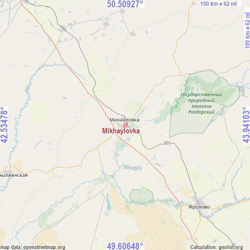
Mikhaylovka GPS coordinates[2]
50° 3' 36" North, 43° 14' 16.44" East
| Map corner | latitude | longitude |
|---|---|---|
| Upper-left | 50.50927°, | 42.53478° |
| Center: | 50.06°, | 43.2379° |
| Lower-right: | 49.60648°, | 43.94103° |
| Map W x H: | 100.4×100.4 km | = 62.4×62.4mi |
| max Lat: | 73.50819° ⇑77.9% North |
| Mikhaylovka: | 50.06° |
| min Lat: | ⇓22.1% South 41.28413° |
| min Long | Mikhaylovka | max Long |
| -179.12198° | 43.2379° | 179.35046° |
| W 44.3%⇐ | ⇒55.7% E |
Elevation
Elevation of Mikhaylovka is 80 m = 262 ft, and this is 122.6 m = 402 ft below average elevation for this country.
| Max E: |
2518 m = 8261 ft | 77.2% |
| Avg. | 202.6 m = 665 ft | |
| Mikhaylovka | 80 m = 262 ft | |
Min E: |
-28 m = -92 ft | 22.8% |
See also: Mikhaylovka elevation on elevation.city.
Geographical zone
Mikhaylovka is located in North temperate zone (between Tropic of Cancer and the Arctic Circle). Distance of this North polar circle is 1835 km =1140.2 mi to North.| Distance of | km | miles | from Mikhaylovka |
|---|---|---|---|
| North Pole | 4440.9 | 2759.4 | to North |
| Arctic Circle | 1835 | 1140.2 | to North |
| Tropic Cancer | 2960.2 | 1839.4 | to South |
| Equator | 5566.2 | 3458.7 | to South |


Nearby cities:
15 places around Mikhaylovka: (largest is in red/bold)
• Alekseyevskaya
79.2 km =49.2 mi,  288°
288°
• Danilovka
70.7 km =43.9 mi,  62°
62°
• Frolovo
44.2 km =27.5 mi,  136°
136°
• Ilovlya
99.6 km =61.9 mi,  147°
147°
• Kikvidze
76.9 km =47.8 mi,  350°
350°
• Kletskaya
83.9 km =52.1 mi,  188°
188°
• Kotovo
115 km =71.5 mi,  75°
75°
• Kumylzhenskaya
50.4 km =31.3 mi,  246°
246°
• Log
78.1 km =48.5 mi, 145°
• Nekhayevskiy
112.4 km =69.8 mi, 290°
• Novoanninskiy
65.7 km =40.8 mi,  322°
322°
• Sebrovo
6 km =3.7 mi,  45°
45°
• Serafimovich
64.5 km =40.1 mi,  213°
213°
• Slashchevskaya
68.2 km =42.4 mi, 250°
• Yelan’
105 km =65.2 mi,  19°
19°
In other languages:
- In France: Mikhaïlovka
- In German: Michailowka
- In Italian: Michajlovka
- In Russian: Михайловка
- In Chinese: 米哈伊洛夫卡
Sources, notices
• [Note1] Compared only with cities in Russia existing in our database
• [Src1] Map data: © OpenStreetMap contributors (CC-BY-SA)
• [Src2] Other city data from geonames.org with taken over terms of usage.
• [Src3] Geographical zone / Annual Mean Temperature by Robert A. Rohde @ Wikipedia
