Makar’yev geodata
Makar’yev (Kostroma Oblast) is a populated place; located in Russia in Europe/Moscow (GMT+3) time zone. With population of 7,600 people, there are 1884 cities with bigger population in this country. Compared to other cities in Russia, 82% of cities are located further ↓South; 53.4% of cities are located further →East and 60.6% of cities have higher elevation than Makar’yev. Note1


Makar’yev GPS coordinates[2]
57° 53' 6.036" North, 43° 48' 17.64" East
| Map corner | latitude | longitude |
|---|---|---|
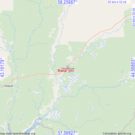
| Upper-left | 58.25687°, | 43.10178° |
| Center: | 57.88501°, | 43.8049° |
| Lower-right: | 57.50927°, | 44.50803° |
| Map W x H: | 83.1×83.1 km | = 51.6×51.6mi |
| max Lat: | 73.50819° ⇑18% North |
| Makar’yev: | 57.88501° |
| min Lat: | ⇓82% South 41.28413° |
| min Long | Makar’yev | max Long |
| -179.12198° | 43.8049° | 179.35046° |
| W 46.6%⇐ | ⇒53.4% E |
Elevation
Elevation of Makar’yev is 123 m = 404 ft, and this is 79.6 m = 261 ft below average elevation for this country.
| Max E: |
2518 m = 8261 ft | 60.6% |
| Avg. | 202.6 m = 665 ft | |
| Makar’yev | 123 m = 404 ft | |
Min E: |
-28 m = -92 ft | 39.4% |
See also: Russia elevation on elevation.city.
Geographical zone
Makar’yev is located in North temperate zone (between Tropic of Cancer and the Arctic Circle). Distance of this North polar circle is 965 km =599.6 mi to North.| Distance of | km | miles | from Makar’yev |
|---|---|---|---|
| North Pole | 3570.9 | 2218.9 | to North |
| Arctic Circle | 965 | 599.6 | to North |
| Tropic Cancer | 3830.3 | 2380 | to South |
| Equator | 6436.2 | 3999.3 | to South |


Nearby cities:
15 places around Makar’yev: (largest is in red/bold)
• Antropovo
73.9 km =45.9 mi,  320°
320°
• Galich
101.7 km =63.2 mi,  302°
302°
• Kadyy
38 km =23.6 mi,  253°
253°
• Kovernino
84.2 km =52.3 mi,  179°
179°
• Manturovo
74.9 km =46.5 mi,  48°
48°
• Neya
46 km =28.6 mi,  4°
4°
• Ostrovskoye
92.8 km =57.7 mi,  264°
264°
• Parfen’yevo
70.5 km =43.8 mi,  340°
340°
• Puchezh
107.7 km =66.9 mi,  200°
200°
• Sokol’skoye
91.3 km =56.7 mi,  205°
205°
• Varnavino
93.4 km =58 mi,  124°
124°
• Yur’yevets
75.4 km =46.9 mi, 213°
• Zarechnyy
101.5 km =63.1 mi,  242°
242°
• Zavolzhsk
108.7 km =67.5 mi, 245°
• Zavrazh’ye
65.2 km =40.5 mi,  215°
215°
Sources, notices
• [Note1] Compared only with cities in Russia existing in our database
• [Src1] Map data: © OpenStreetMap contributors (CC-BY-SA)
• [Src2] Other city data from geonames.org with taken over terms of usage.
• [Src3] Geographical zone / Annual Mean Temperature by Robert A. Rohde @ Wikipedia
