Dubrovka geodata
Dubrovka (Kirov) is a populated place; located in Russia in Europe/Kirov (GMT+3) time zone. With population of 1,916 people, there are 4212 cities with bigger population in this country. Compared to other cities in Russia, 87.1% of cities are located further ↓South; 63.2% of cities are located further ←West and 51.1% of cities have higher elevation than Dubrovka. Note1


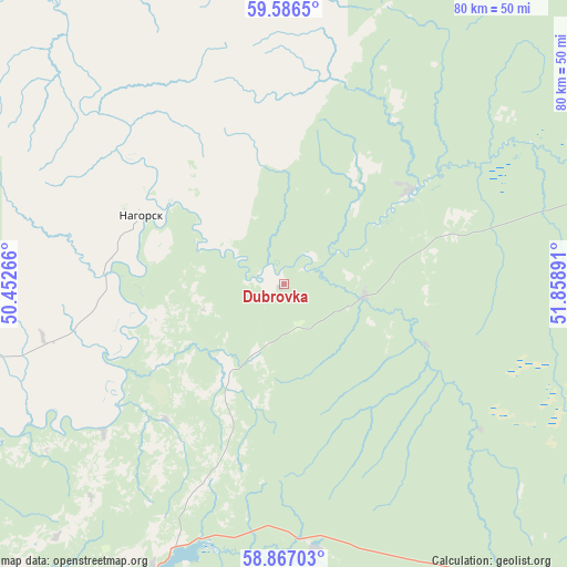
Dubrovka GPS coordinates[2]
59° 13' 43.176" North, 51° 9' 20.808" East
| Map corner | latitude | longitude |
|---|---|---|
| Upper-left | 59.5865°, | 50.45266° |
| Center: | 59.22866°, | 51.15578° |
| Lower-right: | 58.86703°, | 51.85891° |
| Map W x H: | 80×80 km | = 49.7×49.7mi |
| max Lat: | 73.50819° ⇑12.9% North |
| Dubrovka: | 59.22866° |
| min Lat: | ⇓87.1% South 41.28413° |
| min Long | Dubrovka | max Long |
| -179.12198° | 51.15578° | 179.35046° |
| W 63.2%⇐ | ⇒36.8% E |
Elevation
Elevation of Dubrovka is 142 m = 466 ft, and this is 60.6 m = 199 ft below average elevation for this country.
| Max E: |
2518 m = 8261 ft | 51.1% |
| Avg. | 202.6 m = 665 ft | |
| Dubrovka | 142 m = 466 ft | |
Min E: |
-28 m = -92 ft | 48.9% |
See also: Russia elevation on elevation.city.
Geographical zone
Dubrovka is located in North temperate zone (between Tropic of Cancer and the Arctic Circle). Distance of this North polar circle is 815.6 km =506.8 mi to North.| Distance of | km | miles | from Dubrovka |
|---|---|---|---|
| North Pole | 3421.5 | 2126 | to North |
| Arctic Circle | 815.6 | 506.8 | to North |
| Tropic Cancer | 3979.7 | 2472.9 | to South |
| Equator | 6585.6 | 4092.1 | to South |


Nearby cities:
15 places around Dubrovka: (largest is in red/bold)
• Belaya Kholunitsa
46.6 km =29 mi,  201°
201°
• Belorechensk
82.6 km =51.3 mi,  127°
127°
• Chërnaya Kholunitsa
52.8 km =32.8 mi,  142°
142°
• Kirs
63 km =39.1 mi,  78°
78°
• Lesnoy
82.4 km =51.2 mi,  41°
41°
• Lesnyye Polyany
76.3 km =47.4 mi,  109°
109°
• Nagorsk
22.1 km =13.7 mi,  296°
296°
• Omutninsk
86 km =53.4 mi, 136°
• Peskovka
71.7 km =44.6 mi, 106°
• Rudnichnyy
86 km =53.4 mi,  59°
59°
• Slobodskoy
78.7 km =48.9 mi,  225°
225°
• Sozimskiy
84 km =52.2 mi,  47°
47°
• Stulovo
80.8 km =50.2 mi, 225°
• Svetlopolyansk
71.5 km =44.4 mi,  72°
72°
• Vostochnyy
79.3 km =49.3 mi, 128°
Sources, notices
• [Note1] Compared only with cities in Russia existing in our database
• [Src1] Map data: © OpenStreetMap contributors (CC-BY-SA)
• [Src2] Other city data from geonames.org with taken over terms of usage.
• [Src3] Geographical zone / Annual Mean Temperature by Robert A. Rohde @ Wikipedia
