Lesnoy geodata
Lesnoy (Kirov) is a populated place; located in Russia in Europe/Kirov (GMT+3) time zone. With population of 6,915 people, there are 2025 cities with bigger population in this country. Compared to other cities in Russia, 89% of cities are located further ↓South; 63.9% of cities are located further ←West and 62.1% of cities have lower elevation than Lesnoy. Note1


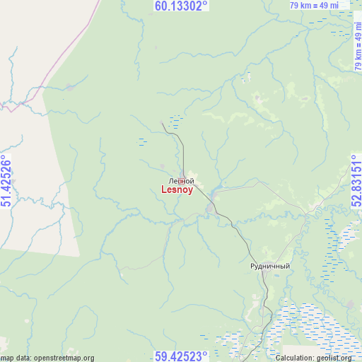
Lesnoy GPS coordinates[2]
59° 46' 51.6" North, 52° 7' 42.168" East
| Map corner | latitude | longitude |
|---|---|---|
| Upper-left | 60.13302°, | 51.42526° |
| Center: | 59.781°, | 52.12838° |
| Lower-right: | 59.42523°, | 52.83151° |
| Map W x H: | 78.7×78.7 km | = 48.9×48.9mi |
| max Lat: | 73.50819° ⇑11% North |
| Lesnoy: | 59.781° |
| min Lat: | ⇓89% South 41.28413° |
| min Long | Lesnoy | max Long |
| -179.12198° | 52.12838° | 179.35046° |
| W 63.9%⇐ | ⇒36.1% E |
Elevation
Elevation of Lesnoy is 174 m = 571 ft, and this is 28.6 m = 94 ft below average elevation for this country.
| Max E: |
2518 m = 8261 ft | 37.9% |
| Avg. | 202.6 m = 665 ft | |
| Lesnoy | 174 m = 571 ft | |
Min E: |
-28 m = -92 ft | 62.1% |
See also: Russia elevation on elevation.city.
Geographical zone
Lesnoy is located in North temperate zone (between Tropic of Cancer and the Arctic Circle). Distance of this North polar circle is 754.1 km =468.6 mi to North.| Distance of | km | miles | from Lesnoy |
|---|---|---|---|
| North Pole | 3360 | 2087.8 | to North |
| Arctic Circle | 754.1 | 468.6 | to North |
| Tropic Cancer | 4041.1 | 2511 | to South |
| Equator | 6647 | 4130.3 | to South |


Nearby cities:
15 places around Lesnoy: (largest is in red/bold)
• Belorechensk
112.5 km =69.9 mi,  175°
175°
• Chërnaya Kholunitsa
106 km =65.9 mi,  192°
192°
• Dubrovka
82.4 km =51.2 mi,  221°
221°
• Kirs
49.6 km =30.8 mi,  172°
172°
• Kochevo
124.4 km =77.3 mi,  99°
99°
• Kostino
116.5 km =72.4 mi,  146°
146°
• Koygorodok
96.9 km =60.2 mi,  319°
319°
• Lesnyye Polyany
88 km =54.7 mi, 169°
• Nagorsk
90.5 km =56.2 mi,  235°
235°
• Omutninsk
123.6 km =76.8 mi, 178°
• Peskovka
82.9 km =51.5 mi, 170°
• Rudnichnyy
26.5 km =16.5 mi,  133°
133°
• Sozimskiy
8 km =5 mi,  123°
123°
• Svetlopolyansk
42.4 km =26.3 mi,  162°
162°
• Vostochnyy
110.6 km =68.7 mi, 176°
Sources, notices
• [Note1] Compared only with cities in Russia existing in our database
• [Src1] Map data: © OpenStreetMap contributors (CC-BY-SA)
• [Src2] Other city data from geonames.org with taken over terms of usage.
• [Src3] Geographical zone / Annual Mean Temperature by Robert A. Rohde @ Wikipedia
