Vikulovo geodata
Vikulovo (Tyumen’ Oblast) is a populated place; located in Russia in Asia/Yekaterinburg (GMT+5) time zone. With population of 6,952 people, there are 2013 cities with bigger population in this country. Compared to other cities in Russia, 75.5% of cities are located further ↓South; 77.1% of cities are located further ←West and 81.1% of cities have higher elevation than Vikulovo. Note1


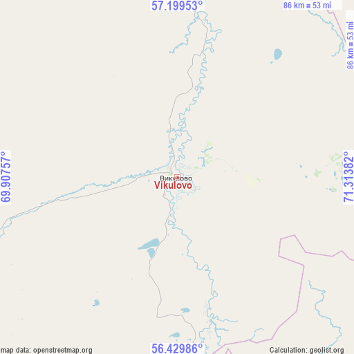
Vikulovo GPS coordinates[2]
56° 49' 0.012" North, 70° 36' 38.484" East
| Map corner | latitude | longitude |
|---|---|---|
| Upper-left | 57.19953°, | 69.90757° |
| Center: | 56.81667°, | 70.61069° |
| Lower-right: | 56.42986°, | 71.31382° |
| Map W x H: | 85.6×85.6 km | = 53.2×53.2mi |
| max Lat: | 73.50819° ⇑24.5% North |
| Vikulovo: | 56.81667° |
| min Lat: | ⇓75.5% South 41.28413° |
| min Long | Vikulovo | max Long |
| -179.12198° | 70.61069° | 179.35046° |
| W 77.1%⇐ | ⇒22.9% E |
Elevation
Elevation of Vikulovo is 67 m = 220 ft, and this is 135.6 m = 445 ft below average elevation for this country.
| Max E: |
2518 m = 8261 ft | 81.1% |
| Avg. | 202.6 m = 665 ft | |
| Vikulovo | 67 m = 220 ft | |
Min E: |
-28 m = -92 ft | 18.9% |
See also: Russia elevation on elevation.city.
Geographical zone
Vikulovo is located in North temperate zone (between Tropic of Cancer and the Arctic Circle). Distance of this North polar circle is 1083.8 km =673.4 mi to North.| Distance of | km | miles | from Vikulovo |
|---|---|---|---|
| North Pole | 3689.6 | 2292.6 | to North |
| Arctic Circle | 1083.8 | 673.4 | to North |
| Tropic Cancer | 3711.5 | 2306.2 | to South |
| Equator | 6317.4 | 3925.4 | to South |


Nearby cities:
15 places around Vikulovo: (largest is in red/bold)
• Abatskoye
59.6 km =37 mi,  189°
189°
• Aromashevo
120.1 km =74.6 mi,  272°
272°
• Golyshmanovo
144.6 km =89.9 mi,  251°
251°
• Ishim
104.2 km =64.7 mi,  221°
221°
• Kazanskoye
155.6 km =96.7 mi,  213°
213°
• Krutinka
105.8 km =65.7 mi,  148°
148°
• Nazyvayevsk
146 km =90.7 mi,  161°
161°
• Novoseleznëvo
153.1 km =95.1 mi, 214°
• Sladkovo
144.2 km =89.6 mi, 186°
• Tevriz
132.7 km =82.5 mi,  54°
54°
• Troitsk
159.5 km =99.1 mi,  141°
141°
• Tyukalinsk
143.4 km =89.1 mi, 137°
• Uspenka
84.2 km =52.3 mi, 268°
• Ust’-Ishim
103.1 km =64.1 mi,  18°
18°
• Vagay
156.8 km =97.4 mi,  322°
322°
Sources, notices
• [Note1] Compared only with cities in Russia existing in our database
• [Src1] Map data: © OpenStreetMap contributors (CC-BY-SA)
• [Src2] Other city data from geonames.org with taken over terms of usage.
• [Src3] Geographical zone / Annual Mean Temperature by Robert A. Rohde @ Wikipedia
