Vengerovo geodata
Vengerovo (Novosibirsk Oblast) is a populated place; located in Russia in Asia/Novosibirsk (GMT+7) time zone. With population of 7,073 people, there are 1981 cities with bigger population in this country. Compared to other cities in Russia, 61.3% of cities are located further ↓South; 78.5% of cities are located further ←West and 68.2% of cities have higher elevation than Vengerovo. Note1


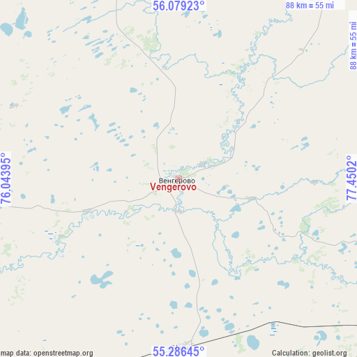
Vengerovo GPS coordinates[2]
55° 41' 5.46" North, 76° 44' 49.452" East
| Map corner | latitude | longitude |
|---|---|---|
| Upper-left | 56.07923°, | 76.04395° |
| Center: | 55.68485°, | 76.74707° |
| Lower-right: | 55.28645°, | 77.4502° |
| Map W x H: | 88.1×88.1 km | = 54.7×54.7mi |
| max Lat: | 73.50819° ⇑38.7% North |
| Vengerovo: | 55.68485° |
| min Lat: | ⇓61.3% South 41.28413° |
| min Long | Vengerovo | max Long |
| -179.12198° | 76.74707° | 179.35046° |
| W 78.5%⇐ | ⇒21.5% E |
Elevation
Elevation of Vengerovo is 107 m = 351 ft, and this is 95.6 m = 314 ft below average elevation for this country.
| Max E: |
2518 m = 8261 ft | 68.2% |
| Avg. | 202.6 m = 665 ft | |
| Vengerovo | 107 m = 351 ft | |
Min E: |
-28 m = -92 ft | 31.8% |
See also: Russia elevation on elevation.city.
Geographical zone
Vengerovo is located in North temperate zone (between Tropic of Cancer and the Arctic Circle). Distance of this North polar circle is 1209.6 km =751.6 mi to North.| Distance of | km | miles | from Vengerovo |
|---|---|---|---|
| North Pole | 3815.5 | 2370.8 | to North |
| Arctic Circle | 1209.6 | 751.6 | to North |
| Tropic Cancer | 3585.7 | 2228 | to South |
| Equator | 6191.6 | 3847.3 | to South |


Nearby cities:
15 places around Vengerovo: (largest is in red/bold)
• Barabinsk
107.7 km =66.9 mi,  109°
109°
• Bol’sherech’ye
139.7 km =86.8 mi,  288°
288°
• Chany
41.5 km =25.8 mi,  178°
178°
• Kalachinsk
154.2 km =95.8 mi,  242°
242°
• Kupino
150.7 km =93.6 mi,  166°
166°
• Kuybyshev
102.5 km =63.7 mi,  104°
104°
• Kyshtovka
97 km =60.3 mi,  355°
355°
• Muromtsevo
120.8 km =75.1 mi,  309°
309°
• Nizhnyaya Omka
116.9 km =72.6 mi,  256°
256°
• Okoneshnikovo
141.4 km =87.9 mi,  228°
228°
• Severnoye
124.6 km =77.4 mi,  53°
53°
• Tagan
88.4 km =54.9 mi,  157°
157°
• Tatarsk
70.7 km =43.9 mi,  222°
222°
• Ust’-Tarka
66.7 km =41.4 mi, 258°
• Zdvinsk
163.4 km =101.5 mi,  131°
131°
Sources, notices
• [Note1] Compared only with cities in Russia existing in our database
• [Src1] Map data: © OpenStreetMap contributors (CC-BY-SA)
• [Src2] Other city data from geonames.org with taken over terms of usage.
• [Src3] Geographical zone / Annual Mean Temperature by Robert A. Rohde @ Wikipedia
