Topchikha geodata
Topchikha (Altai Krai) is a populated place; located in Russia in Asia/Barnaul (GMT+7) time zone. With population of 9,301 people, there are 1614 cities with bigger population in this country. Compared to other cities in Russia, 63.9% of cities are located further ↑North; 80.5% of cities are located further ←West and 70.8% of cities have lower elevation than Topchikha. Note1


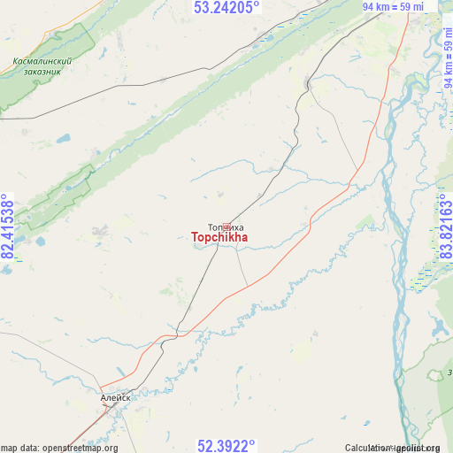
Topchikha GPS coordinates[2]
52° 49' 9.12" North, 83° 7' 6.6" East
| Map corner | latitude | longitude |
|---|---|---|
| Upper-left | 53.24205°, | 82.41538° |
| Center: | 52.8192°, | 83.1185° |
| Lower-right: | 52.3922°, | 83.82163° |
| Map W x H: | 94.5×94.5 km | = 58.7×58.7mi |
| max Lat: | 73.50819° ⇑63.9% North |
| Topchikha: | 52.8192° |
| min Lat: | ⇓36.1% South 41.28413° |
| min Long | Topchikha | max Long |
| -179.12198° | 83.1185° | 179.35046° |
| W 80.5%⇐ | ⇒19.5% E |
Elevation
Elevation of Topchikha is 200 m = 656 ft, and this is 2.6 m = 9 ft below average elevation for this country.
| Max E: |
2518 m = 8261 ft | 29.2% |
| Avg. | 202.6 m = 665 ft | |
| Topchikha | 200 m = 656 ft | |
Min E: |
-28 m = -92 ft | 70.8% |
See also: Russia elevation on elevation.city.
Geographical zone
Topchikha is located in North temperate zone (between Tropic of Cancer and the Arctic Circle). Distance of this North polar circle is 1528.2 km =949.6 mi to North.| Distance of | km | miles | from Topchikha |
|---|---|---|---|
| North Pole | 4134.1 | 2568.8 | to North |
| Arctic Circle | 1528.2 | 949.6 | to North |
| Tropic Cancer | 3267 | 2030 | to South |
| Equator | 5872.9 | 3649.2 | to South |


Nearby cities:
15 places around Topchikha: (largest is in red/bold)
• Aleysk
42.8 km =26.6 mi,  211°
211°
• Cheremnoye
39.5 km =24.5 mi,  9°
9°
• Chernitsk
52.1 km =32.4 mi,  33°
33°
• Kalmanka
29.9 km =18.6 mi,  72°
72°
• Lebyazh’ye
59.2 km =36.8 mi,  37°
37°
• Mokhnatushka
55.1 km =34.2 mi, 34°
• Nagornyy
29.1 km =18.1 mi,  95°
95°
• Novyye Zori
51.9 km =32.2 mi,  23°
23°
• Pavlovsk
56.3 km =35 mi,  350°
350°
• Rebrikha
59.3 km =36.8 mi,  298°
298°
• Shakhi
59.7 km =37.1 mi, 15°
• Stukovo
46.2 km =28.7 mi, 18°
• Ust’-Charyshskaya Pristan’
60 km =37.3 mi,  142°
142°
• Vlasikha
61.3 km =38.1 mi, 29°
• Yuzhnyy
61.8 km =38.4 mi, 38°
Sources, notices
• [Note1] Compared only with cities in Russia existing in our database
• [Src1] Map data: © OpenStreetMap contributors (CC-BY-SA)
• [Src2] Other city data from geonames.org with taken over terms of usage.
• [Src3] Geographical zone / Annual Mean Temperature by Robert A. Rohde @ Wikipedia
