Togur geodata
Togur (Tomsk Oblast) is a populated place; located in Russia in Asia/Tomsk (GMT+7) time zone. With population of 8,442 people, there are 1727 cities with bigger population in this country. Compared to other cities in Russia, 84.1% of cities are located further ↓South; 80.3% of cities are located further ←West and 81.7% of cities have higher elevation than Togur. Note1


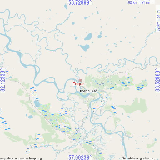
Togur GPS coordinates[2]
58° 21' 47.16" North, 82° 49' 35.4" East
| Map corner | latitude | longitude |
|---|---|---|
| Upper-left | 58.72999°, | 82.12338° |
| Center: | 58.3631°, | 82.8265° |
| Lower-right: | 57.99236°, | 83.52963° |
| Map W x H: | 82×82 km | = 51×51mi |
| max Lat: | 73.50819° ⇑15.9% North |
| Togur: | 58.3631° |
| min Lat: | ⇓84.1% South 41.28413° |
| min Long | Togur | max Long |
| -179.12198° | 82.8265° | 179.35046° |
| W 80.3%⇐ | ⇒19.7% E |
Elevation
Elevation of Togur is 65 m = 213 ft, and this is 137.6 m = 451 ft below average elevation for this country.
| Max E: |
2518 m = 8261 ft | 81.7% |
| Avg. | 202.6 m = 665 ft | |
| Togur | 65 m = 213 ft | |
Min E: |
-28 m = -92 ft | 18.3% |
See also: Russia elevation on elevation.city.
Geographical zone
Togur is located in North temperate zone (between Tropic of Cancer and the Arctic Circle). Distance of this North polar circle is 911.8 km =566.6 mi to North.| Distance of | km | miles | from Togur |
|---|---|---|---|
| North Pole | 3517.7 | 2185.8 | to North |
| Arctic Circle | 911.8 | 566.6 | to North |
| Tropic Cancer | 3883.4 | 2413 | to South |
| Equator | 6489.4 | 4032.3 | to South |


Nearby cities:
15 places around Togur: (largest is in red/bold)
• Aleksandrovskoye
236.5 km =147 mi,  139°
139°
• Bakchar
156.1 km =97 mi,  196°
196°
• Belyy Yar
129.4 km =80.4 mi,  85°
85°
• Kargasok
137.3 km =85.3 mi,  304°
304°
• Kedrovyy
216.7 km =134.7 mi,  244°
244°
• Kolpashevo
7.4 km =4.6 mi, 139°
• Krasnyy Yar
170.6 km =106 mi, 143°
• Krivosheino
130.7 km =81.2 mi,  150°
150°
• Mel’nikovo
214.4 km =133.2 mi,  159°
159°
• Molchanovo
103.1 km =64.1 mi, 147°
• Moryakovskiy Zaton
215.1 km =133.7 mi, 149°
• Parabel’
86.4 km =53.7 mi, 295°
• Podgornoye
64.7 km =40.2 mi,  189°
189°
• Samus’
211.9 km =131.7 mi, 148°
• Seversk
231.4 km =143.8 mi, 147°
Sources, notices
• [Note1] Compared only with cities in Russia existing in our database
• [Src1] Map data: © OpenStreetMap contributors (CC-BY-SA)
• [Src2] Other city data from geonames.org with taken over terms of usage.
• [Src3] Geographical zone / Annual Mean Temperature by Robert A. Rohde @ Wikipedia
