Kolpashevo geodata
Kolpashevo (Tomsk Oblast) is a populated place; located in Russia in Asia/Tomsk (GMT+7) time zone. With population of 27,876 people, there are 704 cities with bigger population in this country. Compared to other cities in Russia, 84% of cities are located further ↓South; 80.3% of cities are located further ←West and 80.6% of cities have higher elevation than Kolpashevo. Note1


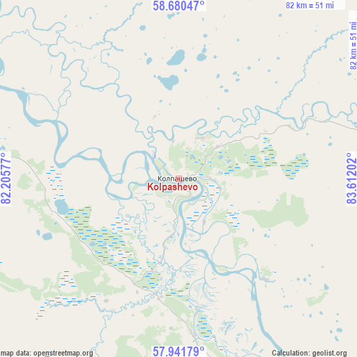
Kolpashevo GPS coordinates[2]
58° 18' 47.016" North, 82° 54' 32.004" East
| Map corner | latitude | longitude |
|---|---|---|
| Upper-left | 58.68047°, | 82.20577° |
| Center: | 58.31306°, | 82.90889° |
| Lower-right: | 57.94179°, | 83.61202° |
| Map W x H: | 82.1×82.1 km | = 51×51mi |
| max Lat: | 73.50819° ⇑16% North |
| Kolpashevo: | 58.31306° |
| min Lat: | ⇓84% South 41.28413° |
| min Long | Kolpashevo | max Long |
| -179.12198° | 82.90889° | 179.35046° |
| W 80.3%⇐ | ⇒19.7% E |
Elevation
Elevation of Kolpashevo is 69 m = 226 ft, and this is 133.6 m = 438 ft below average elevation for this country.
| Max E: |
2518 m = 8261 ft | 80.6% |
| Avg. | 202.6 m = 665 ft | |
| Kolpashevo | 69 m = 226 ft | |
Min E: |
-28 m = -92 ft | 19.4% |
See also: Russia elevation on elevation.city.
Geographical zone
Kolpashevo is located in North temperate zone (between Tropic of Cancer and the Arctic Circle). Distance of this North polar circle is 917.4 km =570 mi to North.| Distance of | km | miles | from Kolpashevo |
|---|---|---|---|
| North Pole | 3523.3 | 2189.3 | to North |
| Arctic Circle | 917.4 | 570 | to North |
| Tropic Cancer | 3877.9 | 2409.6 | to South |
| Equator | 6483.8 | 4028.8 | to South |


Nearby cities:
15 places around Kolpashevo: (largest is in red/bold)
• Aleksandrovskoye
229.1 km =142.4 mi,  139°
139°
• Bakchar
152.3 km =94.6 mi,  199°
199°
• Belyy Yar
125.2 km =77.8 mi,  83°
83°
• Kargasok
144.5 km =89.8 mi,  304°
304°
• Kedrovyy
218.9 km =136 mi,  246°
246°
• Krasnyy Yar
163.2 km =101.4 mi, 143°
• Krivosheino
123.5 km =76.7 mi,  150°
150°
• Mel’nikovo
207.5 km =128.9 mi,  160°
160°
• Molchanovo
95.9 km =59.6 mi, 148°
• Moryakovskiy Zaton
207.9 km =129.2 mi, 149°
• Parabel’
93.2 km =57.9 mi, 297°
• Podgornoye
60.2 km =37.4 mi,  194°
194°
• Samus’
204.7 km =127.2 mi, 148°
• Seversk
224.1 km =139.2 mi, 148°
• Togur
7.4 km =4.6 mi,  319°
319°
Sources, notices
• [Note1] Compared only with cities in Russia existing in our database
• [Src1] Map data: © OpenStreetMap contributors (CC-BY-SA)
• [Src2] Other city data from geonames.org with taken over terms of usage.
• [Src3] Geographical zone / Annual Mean Temperature by Robert A. Rohde @ Wikipedia
