Bograd geodata
Bograd (Khakasiya Republic) is a populated place; located in Russia in Asia/Krasnoyarsk (GMT+7) time zone. With population of 4,623 people, there are 2810 cities with bigger population in this country. Compared to other cities in Russia, 53.1% of cities are located further ↑North; 85.9% of cities are located further ←West and 88.9% of cities have lower elevation than Bograd. Note1


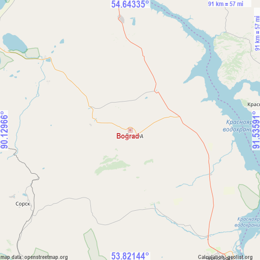
Bograd GPS coordinates[2]
54° 14' 3.984" North, 90° 49' 58.008" East
| Map corner | latitude | longitude |
|---|---|---|
| Upper-left | 54.64335°, | 90.12966° |
| Center: | 54.23444°, | 90.83278° |
| Lower-right: | 53.82144°, | 91.53591° |
| Map W x H: | 91.4×91.4 km | = 56.8×56.8mi |
| max Lat: | 73.50819° ⇑53.1% North |
| Bograd: | 54.23444° |
| min Lat: | ⇓46.9% South 41.28413° |
| min Long | Bograd | max Long |
| -179.12198° | 90.83278° | 179.35046° |
| W 85.9%⇐ | ⇒14.1% E |
Elevation
Elevation of Bograd is 426 m = 1398 ft, and this is 223.4 m = 733 ft above average elevation for this country.
| Max E: |
2518 m = 8261 ft | 11.1% |
| Bograd | 426 m 1398 ft | |
| Avg. | 202.6 m = 665 ft | |
Min E: |
-28 m = -92 ft | 88.9% |
See also: Russia elevation on elevation.city.
Geographical zone
Bograd is located in North temperate zone (between Tropic of Cancer and the Arctic Circle). Distance of this North polar circle is 1370.9 km =851.8 mi to North.| Distance of | km | miles | from Bograd |
|---|---|---|---|
| North Pole | 3976.8 | 2471.1 | to North |
| Arctic Circle | 1370.9 | 851.8 | to North |
| Tropic Cancer | 3424.4 | 2127.8 | to South |
| Equator | 6030.3 | 3747.1 | to South |


Nearby cities:
15 places around Bograd: (largest is in red/bold)
• Abakan
69.6 km =43.2 mi,  145°
145°
• Belyy Yar
79 km =49.1 mi, 152°
• Chernogorsk
54.4 km =33.8 mi, 147°
• Idrinskoye
85.9 km =53.4 mi,  79°
79°
• Kommunar
101.4 km =63 mi,  277°
277°
• Krasnoturansk
48.4 km =30.1 mi, 78°
• Minusinsk
80.8 km =50.2 mi,  136°
136°
• Podsineye
78.2 km =48.6 mi, 143°
• Sayansk
69.1 km =42.9 mi,  97°
97°
• Shira
63.7 km =39.6 mi,  296°
296°
• Sorsk
46 km =28.6 mi,  236°
236°
• Tuim
58.7 km =36.5 mi, 281°
• Ust’-Abakan
57.3 km =35.6 mi, 140°
• Zelënyy Bor
85.2 km =52.9 mi, 143°
• Zhemchuzhnyy
52.8 km =32.8 mi, 303°
Sources, notices
• [Note1] Compared only with cities in Russia existing in our database
• [Src1] Map data: © OpenStreetMap contributors (CC-BY-SA)
• [Src2] Other city data from geonames.org with taken over terms of usage.
• [Src3] Geographical zone / Annual Mean Temperature by Robert A. Rohde @ Wikipedia
