Villshärad geodata
Villshärad (Halland) is a populated place; located in Sweden in Europe/Stockholm (GMT+2) time zone. With population of 778 people, there are 984 cities with bigger population in this country. Compared to other cities in Sweden, 81.2% of cities are located further ↑North; 86.3% of cities are located further →East and 80.1% of cities have higher elevation than Villshärad. Note1


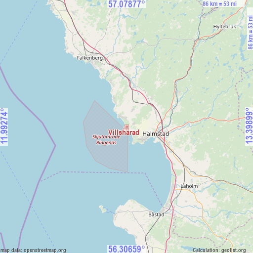
Villshärad GPS coordinates[2]
56° 41' 40.776" North, 12° 41' 45.096" East
| Map corner | latitude | longitude |
|---|---|---|
| Upper-left | 57.07877°, | 11.99274° |
| Center: | 56.69466°, | 12.69586° |
| Lower-right: | 56.30659°, | 13.39899° |
| Map W x H: | 85.9×85.9 km | = 53.4×53.4mi |
| max Lat: | 67.85572° ⇑81.2% North |
| Villshärad: | 56.69466° |
| min Lat: | ⇓18.8% South 55.34337° |
| min Long | Villshärad | max Long |
| 11.1712° | 12.69586° | 24.13676° |
| W 13.7%⇐ | ⇒86.3% E |
Elevation
Elevation of Villshärad is 16 m = 52 ft, and this is 66.6 m = 219 ft below average elevation for this country.
| Max E: |
663 m = 2175 ft | 80.1% |
| Avg. | 82.6 m = 271 ft | |
| Villshärad | 16 m = 52 ft | |
Min E: |
-1 m = -3 ft | 19.9% |
See also: Sweden elevation on elevation.city.
Geographical zone
Villshärad is located in North temperate zone (between Tropic of Cancer and the Arctic Circle). Distance of this North polar circle is 1097.3 km =681.8 mi to North.| Distance of | km | miles | from Villshärad |
|---|---|---|---|
| North Pole | 3703.2 | 2301.1 | to North |
| Arctic Circle | 1097.3 | 681.8 | to North |
| Tropic Cancer | 3697.9 | 2297.8 | to South |
| Equator | 6303.9 | 3917.1 | to South |


Nearby cities:
15 places around Villshärad: (largest is in red/bold)
• Frösakull
2.6 km =1.6 mi,  118°
118°
• Fyllinge
14.4 km =8.9 mi,  110°
110°
• Getinge
13.8 km =8.6 mi,  9°
9°
• Gullbrandstorp
2.4 km =1.5 mi,  75°
75°
• Gullbranna
19.3 km =12 mi,  126°
126°
• Halmstad
10.1 km =6.3 mi,  102°
102°
• Harplinge
5.9 km =3.7 mi,  19°
19°
• Haverdal
3.4 km =2.1 mi,  334°
334°
• Holm
10.9 km =6.8 mi,  62°
62°
• Kvibille
12.9 km =8 mi,  40°
40°
• Mjällby
4.5 km =2.8 mi, 106°
• Slöinge
17.3 km =10.7 mi,  357°
357°
• Steninge
9.2 km =5.7 mi, 334°
• Trönninge
16.9 km =10.5 mi, 120°
• Åled
15.7 km =9.8 mi,  66°
66°
Sources, notices
• [Note1] Compared only with cities in Sweden existing in our database
• [Src1] Map data: © OpenStreetMap contributors (CC-BY-SA)
• [Src2] Other city data from geonames.org with taken over terms of usage.
• [Src3] Geographical zone / Annual Mean Temperature by Robert A. Rohde @ Wikipedia
