Vattholma geodata
Vattholma (Uppsala) is a populated place; located in Sweden in Europe/Stockholm (GMT+2) time zone. With population of 1,410 people, there are 682 cities with bigger population in this country. Compared to other cities in Sweden, 73.7% of cities are located further ↓South; 81.9% of cities are located further ←West and 78.5% of cities have higher elevation than Vattholma. Note1


Vattholma GPS coordinates[2]
60° 1' 0.012" North, 17° 43' 59.988" East
| Map corner | latitude | longitude |
|---|---|---|
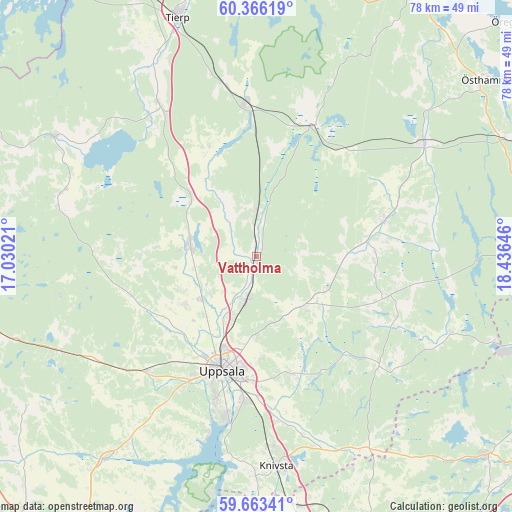
| Upper-left | 60.36619°, | 17.03021° |
| Center: | 60.01667°, | 17.73333° |
| Lower-right: | 59.66341°, | 18.43646° |
| Map W x H: | 78.1×78.1 km | = 48.5×48.5mi |
| max Lat: | 67.85572° ⇑26.3% North |
| Vattholma: | 60.01667° |
| min Lat: | ⇓73.7% South 55.34337° |
| min Long | Vattholma | max Long |
| 11.1712° | 17.73333° | 24.13676° |
| W 81.9%⇐ | ⇒18.1% E |
Elevation
Elevation of Vattholma is 17 m = 56 ft, and this is 65.6 m = 215 ft below average elevation for this country.
| Max E: |
663 m = 2175 ft | 78.5% |
| Avg. | 82.6 m = 271 ft | |
| Vattholma | 17 m = 56 ft | |
Min E: |
-1 m = -3 ft | 21.5% |
See also: Sweden elevation on elevation.city.
Geographical zone
Vattholma is located in North temperate zone (between Tropic of Cancer and the Arctic Circle). Distance of this North polar circle is 727.9 km =452.3 mi to North.| Distance of | km | miles | from Vattholma |
|---|---|---|---|
| North Pole | 3333.8 | 2071.5 | to North |
| Arctic Circle | 727.9 | 452.3 | to North |
| Tropic Cancer | 4067.3 | 2527.3 | to South |
| Equator | 6673.2 | 4146.5 | to South |


Nearby cities:
15 places around Vattholma: (largest is in red/bold)
• Almunge
23 km =14.3 mi,  130°
130°
• Alunda
20.2 km =12.6 mi,  74°
74°
• Björklinge
10.2 km =6.3 mi,  278°
278°
• Bälinge
13.4 km =8.3 mi,  236°
236°
• Gamla Uppsala
14.3 km =8.9 mi,  202°
202°
• Gunsta
19.4 km =12.1 mi,  163°
163°
• Gåvsta
11.5 km =7.1 mi,  135°
135°
• Karby
17 km =10.6 mi,  330°
330°
• Länna
20.2 km =12.6 mi, 143°
• Lövstalöt
10.9 km =6.8 mi,  232°
232°
• Skyttorp
7.4 km =4.6 mi,  0°
0°
• Storvreta
6.6 km =4.1 mi,  193°
193°
• Sävja
22.1 km =13.7 mi,  184°
184°
• Uppsala
18.3 km =11.4 mi, 196°
• Österbybruk
22.4 km =13.9 mi,  24°
24°
Sources, notices
• [Note1] Compared only with cities in Sweden existing in our database
• [Src1] Map data: © OpenStreetMap contributors (CC-BY-SA)
• [Src2] Other city data from geonames.org with taken over terms of usage.
• [Src3] Geographical zone / Annual Mean Temperature by Robert A. Rohde @ Wikipedia
