Björnänge geodata
Björnänge (Jämtland) is a populated place; located in Sweden in Europe/Stockholm (GMT+2) time zone. With population of 630 people, there are 1145 cities with bigger population in this country. Compared to other cities in Sweden, 90.9% of cities are located further ↓South; 76.6% of cities are located further →East and 98.6% of cities have lower elevation than Björnänge. Note1


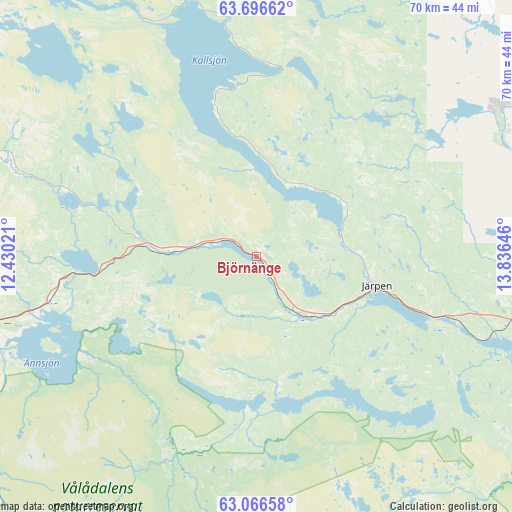
Björnänge GPS coordinates[2]
63° 22' 59.988" North, 13° 7' 59.988" East
| Map corner | latitude | longitude |
|---|---|---|
| Upper-left | 63.69662°, | 12.43021° |
| Center: | 63.38333°, | 13.13333° |
| Lower-right: | 63.06658°, | 13.83646° |
| Map W x H: | 70.1×70.1 km | = 43.6×43.6mi |
| max Lat: | 67.85572° ⇑9.1% North |
| Björnänge: | 63.38333° |
| min Lat: | ⇓90.9% South 55.34337° |
| min Long | Björnänge | max Long |
| 11.1712° | 13.13333° | 24.13676° |
| W 23.4%⇐ | ⇒76.6% E |
Elevation
Elevation of Björnänge is 372 m = 1220 ft, and this is 289.4 m = 949 ft above average elevation for this country.
| Max E: |
663 m = 2175 ft | 1.4% |
| Björnänge | 372 m 1220 ft | |
| Avg. | 82.6 m = 271 ft | |
Min E: |
-1 m = -3 ft | 98.6% |
See also: Sweden elevation on elevation.city.
Geographical zone
Björnänge is located in North temperate zone (between Tropic of Cancer and the Arctic Circle). Distance of this North polar circle is 353.6 km =219.7 mi to North.| Distance of | km | miles | from Björnänge |
|---|---|---|---|
| North Pole | 2959.5 | 1838.9 | to North |
| Arctic Circle | 353.6 | 219.7 | to North |
| Tropic Cancer | 4441.6 | 2759.9 | to South |
| Equator | 7047.6 | 4379.2 | to South |


Nearby cities:
15 places around Björnänge: (largest is in red/bold)
• Duved
13.4 km =8.3 mi,  277°
277°
• Dvärsätt
66.9 km =41.6 mi,  96°
96°
• Föllinge
80 km =49.7 mi,  66°
66°
• Hackås
86.7 km =53.9 mi,  126°
126°
• Hoverberg
91.5 km =56.9 mi, 133°
• Järpen
17.1 km =10.6 mi, 103°
• Krokom
65.9 km =40.9 mi, 95°
• Lit
85.7 km =53.3 mi,  94°
94°
• Mörsil
27.7 km =17.2 mi,  107°
107°
• Nälden
55.8 km =34.7 mi, 93°
• Undersåker
9.3 km =5.8 mi,  142°
142°
• Valla
37.9 km =23.5 mi,  60°
60°
• Åre
3.2 km =2 mi,  303°
303°
• Ås
73.1 km =45.4 mi, 101°
• Östersund
78.5 km =48.8 mi, 106°
Sources, notices
• [Note1] Compared only with cities in Sweden existing in our database
• [Src1] Map data: © OpenStreetMap contributors (CC-BY-SA)
• [Src2] Other city data from geonames.org with taken over terms of usage.
• [Src3] Geographical zone / Annual Mean Temperature by Robert A. Rohde @ Wikipedia
