Älmhult geodata
Älmhult (Kronoberg) is a seat of a second-order administrative division; located in Sweden in Europe/Stockholm (GMT+2) time zone. With population of 9,495 people, there are 157 cities with bigger population in this country. Compared to other cities in Sweden, 83.2% of cities are located further ↑North; 62.3% of cities are located further →East and 79.9% of cities have lower elevation than Älmhult. Note1


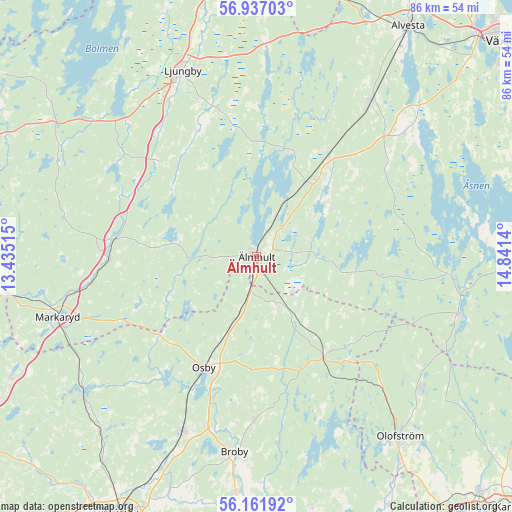
Älmhult GPS coordinates[2]
56° 33' 5.256" North, 14° 8' 17.772" East
| Map corner | latitude | longitude |
|---|---|---|
| Upper-left | 56.93703°, | 13.43515° |
| Center: | 56.55146°, | 14.13827° |
| Lower-right: | 56.16192°, | 14.8414° |
| Map W x H: | 86.2×86.2 km | = 53.6×53.6mi |
| max Lat: | 67.85572° ⇑83.2% North |
| Älmhult: | 56.55146° |
| min Lat: | ⇓16.8% South 55.34337° |
| min Long | Älmhult | max Long |
| 11.1712° | 14.13827° | 24.13676° |
| W 37.7%⇐ | ⇒62.3% E |
Elevation
Elevation of Älmhult is 144 m = 472 ft, and this is 61.4 m = 201 ft above average elevation for this country.
| Max E: |
663 m = 2175 ft | 20.1% |
| Älmhult | 144 m 472 ft | |
| Avg. | 82.6 m = 271 ft | |
Min E: |
-1 m = -3 ft | 79.9% |
See also: Sweden elevation on elevation.city.
Geographical zone
Älmhult is located in North temperate zone (between Tropic of Cancer and the Arctic Circle). Distance of this North polar circle is 1113.2 km =691.7 mi to North.| Distance of | km | miles | from Älmhult |
|---|---|---|---|
| North Pole | 3719.1 | 2310.9 | to North |
| Arctic Circle | 1113.2 | 691.7 | to North |
| Tropic Cancer | 3682 | 2287.9 | to South |
| Equator | 6287.9 | 3907.1 | to South |


Nearby cities:
15 places around Älmhult: (largest is in red/bold)
• Broby
33.1 km =20.6 mi,  186°
186°
• Diö
10.3 km =6.4 mi,  27°
27°
• Glimåkra
28 km =17.4 mi,  180°
180°
• Grimslöv
31.5 km =19.6 mi,  50°
50°
• Hittarp
29.8 km =18.5 mi, 182°
• Hästveda
32.2 km =20 mi,  202°
202°
• Killeberg
8.7 km =5.4 mi, 196°
• Liatorp
15 km =9.3 mi, 31°
• Lönsboda
20.1 km =12.5 mi,  146°
146°
• Osby
20.9 km =13 mi,  205°
205°
• Sibbhult
31.9 km =19.8 mi,  173°
173°
• Sjörröd
32.8 km =20.4 mi, 204°
• Strömsnäsbruk
25.8 km =16 mi,  269°
269°
• Traryd
24 km =14.9 mi,  277°
277°
• Vislanda
32.1 km =19.9 mi,  36°
36°
Sources, notices
• [Note1] Compared only with cities in Sweden existing in our database
• [Src1] Map data: © OpenStreetMap contributors (CC-BY-SA)
• [Src2] Other city data from geonames.org with taken over terms of usage.
• [Src3] Geographical zone / Annual Mean Temperature by Robert A. Rohde @ Wikipedia
