Vitanje geodata
Vitanje is a seat of a first-order administrative division; located in Slovenia in Europe/Ljubljana (GMT+2) time zone. With population of 865 people, there are 264 cities with bigger population in this country. Compared to other cities in Slovenia, 63.7% of cities are located further ↓South; 64.7% of cities are located further ←West and 83.3% of cities have lower elevation than Vitanje. Note1


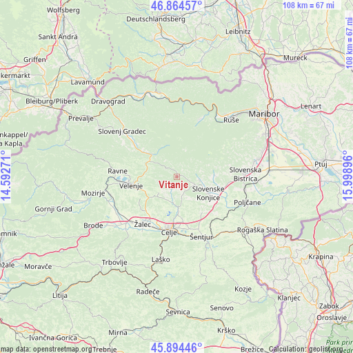
Vitanje GPS coordinates[2]
46° 22' 54.012" North, 15° 17' 44.988" East
| Map corner | latitude | longitude |
|---|---|---|
| Upper-left | 46.86457°, | 14.59271° |
| Center: | 46.38167°, | 15.29583° |
| Lower-right: | 45.89446°, | 15.99896° |
| Map W x H: | 107.9×107.9 km | = 67×67mi |
| max Lat: | 46.83694° ⇑36.3% North |
| Vitanje: | 46.38167° |
| min Lat: | ⇓63.7% South 45.47667° |
| min Long | Vitanje | max Long |
| 13.52639° | 15.29583° | 16.4975° |
| W 64.7%⇐ | ⇒35.3% E |
Elevation
Elevation of Vitanje is 453 m = 1486 ft, and this is 127.4 m = 418 ft above average elevation for this country.
| Max E: |
1551 m = 5089 ft | 16.7% |
| Vitanje | 453 m 1486 ft | |
| Avg. | 325.6 m = 1068 ft | |
Min E: |
2 m = 7 ft | 83.3% |
See also: Slovenia elevation on elevation.city.
Geographical zone
Vitanje is located in North temperate zone (between Tropic of Cancer and the Arctic Circle). Distance of this North polar circle is 2244 km =1394.4 mi to North.| Distance of | km | miles | from Vitanje |
|---|---|---|---|
| North Pole | 4849.9 | 3013.6 | to North |
| Arctic Circle | 2244 | 1394.4 | to North |
| Tropic Cancer | 2551.2 | 1585.2 | to South |
| Equator | 5157.2 | 3204.5 | to South |


Nearby cities:
15 places around Vitanje: (largest is in red/bold)
• Bezina
10.3 km =6.4 mi,  103°
103°
• Dobrna
7.2 km =4.5 mi,  227°
227°
• Galicija
12 km =7.5 mi,  219°
219°
• Gorica pri Šmartnem
12.9 km =8 mi,  202°
202°
• Gornji Dolič
9.7 km =6 mi,  298°
298°
• Ljubečna
14.2 km =8.8 mi,  171°
171°
• Mislinja
9.9 km =6.2 mi,  312°
312°
• Oplotnica
11.6 km =7.2 mi,  86°
86°
• Pernovo
13.2 km =8.2 mi, 219°
• Slovenske Konjice
11.2 km =7 mi,  116°
116°
• Studence
13 km =8.1 mi, 231°
• Trnovlje pri Celju
13.9 km =8.6 mi,  180°
180°
• Vojnik
9.8 km =6.1 mi, 176°
• Zadobrova
12.9 km =8 mi, 177°
• Zreče
6.4 km =4 mi, 89°
Sources, notices
• [Note1] Compared only with cities in Slovenia existing in our database
• [Src1] Map data: © OpenStreetMap contributors (CC-BY-SA)
• [Src2] Other city data from geonames.org with taken over terms of usage.
• [Src3] Geographical zone / Annual Mean Temperature by Robert A. Rohde @ Wikipedia
