Preddvor geodata
Preddvor is a seat of a first-order administrative division; located in Slovenia in Europe/Ljubljana (GMT+2) time zone. With population of 837 people, there are 275 cities with bigger population in this country. Compared to other cities in Slovenia, 55% of cities are located further ↓South; 68.8% of cities are located further →East and 86.3% of cities have lower elevation than Preddvor. Note1


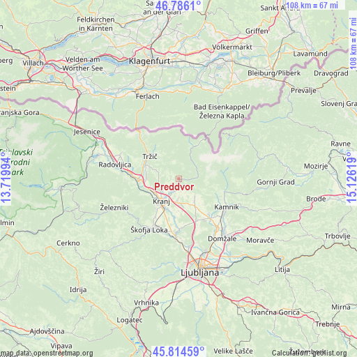
Preddvor GPS coordinates[2]
46° 18' 9" North, 14° 25' 23.016" East
| Map corner | latitude | longitude |
|---|---|---|
| Upper-left | 46.7861°, | 13.71994° |
| Center: | 46.3025°, | 14.42306° |
| Lower-right: | 45.81459°, | 15.12619° |
| Map W x H: | 108×108 km | = 67.1×67.1mi |
| max Lat: | 46.83694° ⇑45% North |
| Preddvor: | 46.3025° |
| min Lat: | ⇓55% South 45.47667° |
| min Long | Preddvor | max Long |
| 13.52639° | 14.42306° | 16.4975° |
| W 31.2%⇐ | ⇒68.8% E |
Elevation
Elevation of Preddvor is 488 m = 1601 ft, and this is 162.4 m = 533 ft above average elevation for this country.
| Max E: |
1551 m = 5089 ft | 13.7% |
| Preddvor | 488 m 1601 ft | |
| Avg. | 325.6 m = 1068 ft | |
Min E: |
2 m = 7 ft | 86.3% |
See also: Slovenia elevation on elevation.city.
Geographical zone
Preddvor is located in North temperate zone (between Tropic of Cancer and the Arctic Circle). Distance of this North polar circle is 2252.8 km =1399.8 mi to North.| Distance of | km | miles | from Preddvor |
|---|---|---|---|
| North Pole | 4858.7 | 3019.1 | to North |
| Arctic Circle | 2252.8 | 1399.8 | to North |
| Tropic Cancer | 2542.4 | 1579.8 | to South |
| Equator | 5148.4 | 3199.1 | to South |


Nearby cities:
15 places around Preddvor: (largest is in red/bold)
• Britof
5.3 km =3.3 mi,  208°
208°
• Cerklje na Gorenjskem
7.4 km =4.6 mi,  136°
136°
• Golnik
7.7 km =4.8 mi,  296°
296°
• Hotemaže
2.4 km =1.5 mi,  183°
183°
• Kokrica
6 km =3.7 mi,  233°
233°
• Kranj
8.8 km =5.5 mi,  216°
216°
• Mlaka pri Kranju
6 km =3.7 mi,  249°
249°
• Naklo
8.8 km =5.5 mi, 247°
• Predoslje
5 km =3.1 mi, 214°
• Spodnje Duplje
9.5 km =5.9 mi,  268°
268°
• Strahinj
8.4 km =5.2 mi,  255°
255°
• Visoko
3.5 km =2.2 mi,  186°
186°
• Voklo
9.6 km =6 mi, 180°
• Zgornji Brnik
8.5 km =5.3 mi,  146°
146°
• Šenčur
6.3 km =3.9 mi, 182°
Sources, notices
• [Note1] Compared only with cities in Slovenia existing in our database
• [Src1] Map data: © OpenStreetMap contributors (CC-BY-SA)
• [Src2] Other city data from geonames.org with taken over terms of usage.
• [Src3] Geographical zone / Annual Mean Temperature by Robert A. Rohde @ Wikipedia
