Gaberke geodata
Gaberke (Šoštanj) is a populated place; located in Slovenia in Europe/Ljubljana (GMT+2) time zone. With population of 684 people, there are 366 cities with bigger population in this country. Compared to other cities in Slovenia, 66.5% of cities are located further ↓South; 53.2% of cities are located further ←West and 74.7% of cities have lower elevation than Gaberke. Note1


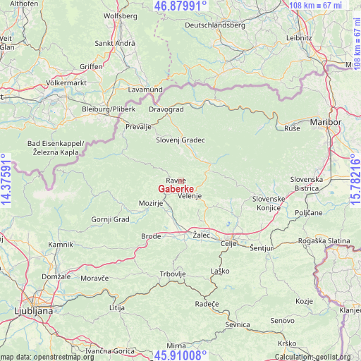
Gaberke GPS coordinates[2]
46° 23' 49.74" North, 15° 4' 44.508" East
| Map corner | latitude | longitude |
|---|---|---|
| Upper-left | 46.87991°, | 14.37591° |
| Center: | 46.39715°, | 15.07903° |
| Lower-right: | 45.91008°, | 15.78216° |
| Map W x H: | 107.8×107.8 km | = 67×67mi |
| max Lat: | 46.83694° ⇑33.5% North |
| Gaberke: | 46.39715° |
| min Lat: | ⇓66.5% South 45.47667° |
| min Long | Gaberke | max Long |
| 13.52639° | 15.07903° | 16.4975° |
| W 53.2%⇐ | ⇒46.8% E |
Elevation
Elevation of Gaberke is 397 m = 1302 ft, and this is 71.4 m = 234 ft above average elevation for this country.
| Max E: |
1551 m = 5089 ft | 25.3% |
| Gaberke | 397 m 1302 ft | |
| Avg. | 325.6 m = 1068 ft | |
Min E: |
2 m = 7 ft | 74.7% |
See also: Slovenia elevation on elevation.city.
Geographical zone
Gaberke is located in North temperate zone (between Tropic of Cancer and the Arctic Circle). Distance of this North polar circle is 2242.3 km =1393.3 mi to North.| Distance of | km | miles | from Gaberke |
|---|---|---|---|
| North Pole | 4848.2 | 3012.5 | to North |
| Arctic Circle | 2242.3 | 1393.3 | to North |
| Tropic Cancer | 2553 | 1586.4 | to South |
| Equator | 5158.9 | 3205.6 | to South |


Nearby cities:
15 places around Gaberke: (largest is in red/bold)
• Andraž nad Polzelo
8.1 km =5 mi,  172°
172°
• Florjan
5.4 km =3.4 mi,  265°
265°
• Gornji Dolič
8.6 km =5.3 mi,  70°
70°
• Letuš
9.9 km =6.2 mi,  204°
204°
• Lokovica
4.7 km =2.9 mi,  206°
206°
• Mislinjska Dobrava
8.3 km =5.2 mi,  24°
24°
• Podgorje
8.3 km =5.2 mi,  2°
2°
• Podkraj pri Velenju
5 km =3.1 mi, 171°
• Ravne
2.3 km =1.4 mi,  323°
323°
• Topolšica
4.4 km =2.7 mi, 274°
• Velenje
4.9 km =3 mi,  150°
150°
• Škale
3.1 km =1.9 mi,  140°
140°
• Šmartno ob Paki
7.9 km =4.9 mi, 206°
• Šmartno pri Slovenj Gradcu
10.5 km =6.5 mi,  11°
11°
• Šoštanj
3 km =1.9 mi,  230°
230°
Sources, notices
• [Note1] Compared only with cities in Slovenia existing in our database
• [Src1] Map data: © OpenStreetMap contributors (CC-BY-SA)
• [Src2] Other city data from geonames.org with taken over terms of usage.
• [Src3] Geographical zone / Annual Mean Temperature by Robert A. Rohde @ Wikipedia
