Modra geodata
Modra (Bratislavský kraj) is a populated place; located in Slovakia in Europe/Bratislava (GMT+2) time zone. With population of 8,536 people, there are 75 cities with bigger population in this country. Compared to other cities in Slovakia, 78.2% of cities are located further ↑North; 91.8% of cities are located further →East and 74.1% of cities have higher elevation than Modra. Note1


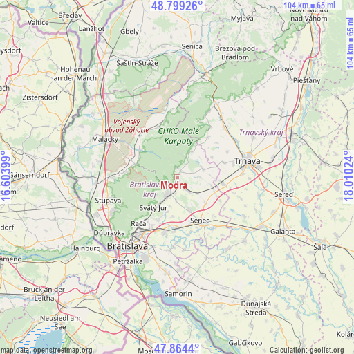
Modra GPS coordinates[2]
48° 20' 2.292" North, 17° 18' 25.596" East
| Map corner | latitude | longitude |
|---|---|---|
| Upper-left | 48.79926°, | 16.60399° |
| Center: | 48.33397°, | 17.30711° |
| Lower-right: | 47.8644°, | 18.01024° |
| Map W x H: | 103.9×103.9 km | = 64.6×64.6mi |
| max Lat: | 49.43503° ⇑78.2% North |
| Modra: | 48.33397° |
| min Lat: | ⇓21.8% South 47.76356° |
| min Long | Modra | max Long |
| 16.9786° | 17.30711° | 22.18136° |
| W 8.2%⇐ | ⇒91.8% E |
Elevation
Elevation of Modra is 173 m = 568 ft, and this is 163.1 m = 535 ft below average elevation for this country.
| Max E: |
1006 m = 3301 ft | 74.1% |
| Avg. | 336.1 m = 1103 ft | |
| Modra | 173 m = 568 ft | |
Min E: |
102 m = 335 ft | 25.9% |
See also: Slovakia elevation on elevation.city.
Geographical zone
Modra is located in North temperate zone (between Tropic of Cancer and the Arctic Circle). Distance of this North polar circle is 2026.9 km =1259.5 mi to North.| Distance of | km | miles | from Modra |
|---|---|---|---|
| North Pole | 4632.8 | 2878.7 | to North |
| Arctic Circle | 2026.9 | 1259.5 | to North |
| Tropic Cancer | 2768.3 | 1720.1 | to South |
| Equator | 5374.2 | 3339.4 | to South |


Nearby cities:
15 places around Modra: (largest is in red/bold)
• Bratislava
25.4 km =15.8 mi,  215°
215°
• Bratislava - Vajnory
16.1 km =10 mi,  207°
207°
• Devínska Nová Ves
28.1 km =17.5 mi,  239°
239°
• Dunajská Lužná
28.1 km =17.5 mi,  187°
187°
• Ivanka pri Dunaji
16.8 km =10.4 mi, 193°
• Malacky
23.9 km =14.9 mi,  298°
298°
• Marianka
20.3 km =12.6 mi, 242°
• Pezinok
5.7 km =3.5 mi, 211°
• Senec
14.5 km =9 mi,  151°
151°
• Sládkovičovo
28.6 km =17.8 mi,  121°
121°
• Smolenice
21.1 km =13.1 mi,  25°
25°
• Stupava
21.4 km =13.3 mi,  252°
252°
• Svätý Jur
11.3 km =7 mi, 216°
• Trnava
21.3 km =13.2 mi,  76°
76°
• Vinosady
2.8 km =1.7 mi, 206°
Sources, notices
• [Note1] Compared only with cities in Slovakia existing in our database
• [Src1] Map data: © OpenStreetMap contributors (CC-BY-SA)
• [Src2] Other city data from geonames.org with taken over terms of usage.
• [Src3] Geographical zone / Annual Mean Temperature by Robert A. Rohde @ Wikipedia
