Smolenice geodata
Smolenice (Trnavský kraj) is a populated place; located in Slovakia in Europe/Bratislava (GMT+2) time zone. With population of 3,287 people, there are 132 cities with bigger population in this country. Compared to other cities in Slovakia, 69.4% of cities are located further ↑North; 89.4% of cities are located further →East and 58.8% of cities have higher elevation than Smolenice. Note1


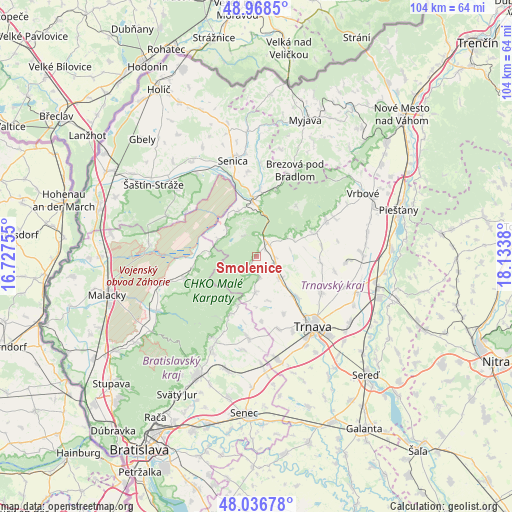
Smolenice GPS coordinates[2]
48° 30' 17.208" North, 17° 25' 50.412" East
| Map corner | latitude | longitude |
|---|---|---|
| Upper-left | 48.9685°, | 16.72755° |
| Center: | 48.50478°, | 17.43067° |
| Lower-right: | 48.03678°, | 18.1338° |
| Map W x H: | 103.6×103.6 km | = 64.4×64.4mi |
| max Lat: | 49.43503° ⇑69.4% North |
| Smolenice: | 48.50478° |
| min Lat: | ⇓30.6% South 47.76356° |
| min Long | Smolenice | max Long |
| 16.9786° | 17.43067° | 22.18136° |
| W 10.6%⇐ | ⇒89.4% E |
Elevation
Elevation of Smolenice is 226 m = 741 ft, and this is 110.1 m = 361 ft below average elevation for this country.
| Max E: |
1006 m = 3301 ft | 58.8% |
| Avg. | 336.1 m = 1103 ft | |
| Smolenice | 226 m = 741 ft | |
Min E: |
102 m = 335 ft | 41.2% |
See also: Slovakia elevation on elevation.city.
Geographical zone
Smolenice is located in North temperate zone (between Tropic of Cancer and the Arctic Circle). Distance of this North polar circle is 2007.9 km =1247.7 mi to North.| Distance of | km | miles | from Smolenice |
|---|---|---|---|
| North Pole | 4613.8 | 2866.9 | to North |
| Arctic Circle | 2007.9 | 1247.7 | to North |
| Tropic Cancer | 2787.3 | 1731.9 | to South |
| Equator | 5393.2 | 3351.2 | to South |


Nearby cities:
15 places around Smolenice: (largest is in red/bold)
• Brezová pod Bradlom
19.4 km =12.1 mi,  24°
24°
• Gbely
33.1 km =20.6 mi,  315°
315°
• Hlohovec
28.6 km =17.8 mi,  106°
106°
• Leopoldov
25.5 km =15.8 mi,  104°
104°
• Malacky
31.1 km =19.3 mi,  255°
255°
• Modra
21.1 km =13.1 mi,  205°
205°
• Myjava
30 km =18.6 mi, 19°
• Pezinok
26.8 km =16.7 mi, 206°
• Piešťany
30.8 km =19.1 mi,  71°
71°
• Senec
31.8 km =19.8 mi,  184°
184°
• Senica
20 km =12.4 mi,  346°
346°
• Svätý Jur
32.3 km =20.1 mi, 209°
• Trnava
18.3 km =11.4 mi,  140°
140°
• Vinosady
23.9 km =14.9 mi, 205°
• Vrbové
25 km =15.5 mi,  59°
59°
Sources, notices
• [Note1] Compared only with cities in Slovakia existing in our database
• [Src1] Map data: © OpenStreetMap contributors (CC-BY-SA)
• [Src2] Other city data from geonames.org with taken over terms of usage.
• [Src3] Geographical zone / Annual Mean Temperature by Robert A. Rohde @ Wikipedia
